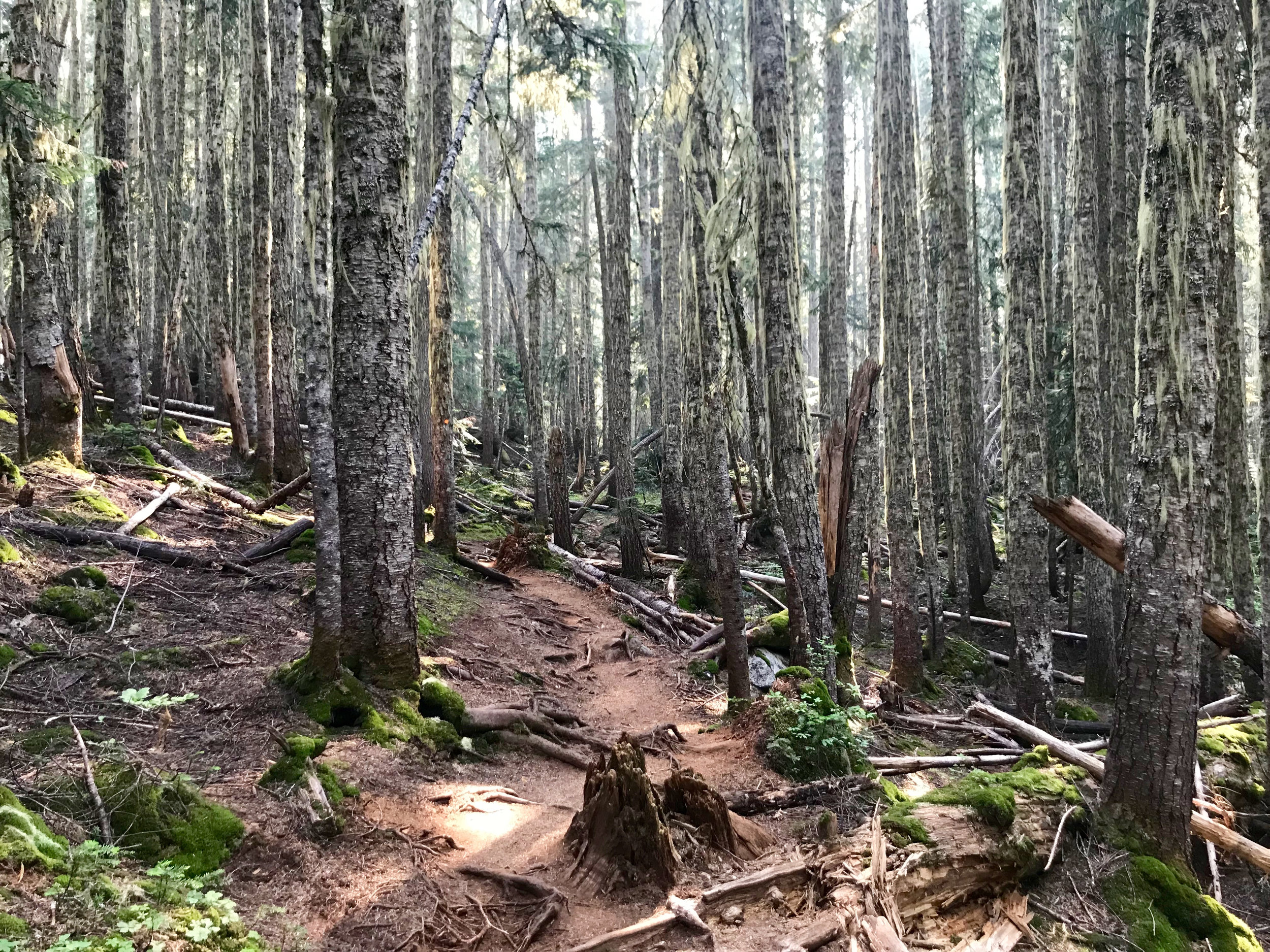
This summer I went on a 6-night camping trip on Nootka Island, which is off the West Coast of Vancouver Island.
Here are a few photos.
This summer I went on a 6-night camping trip on Nootka Island, which is off the West Coast of Vancouver Island.
Here are a few photos.
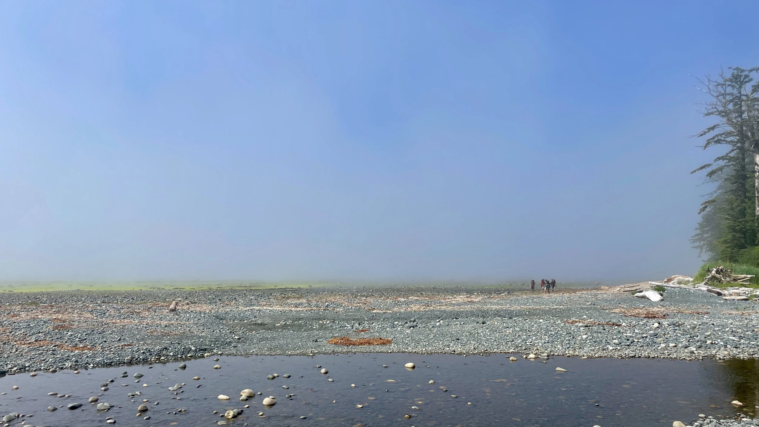
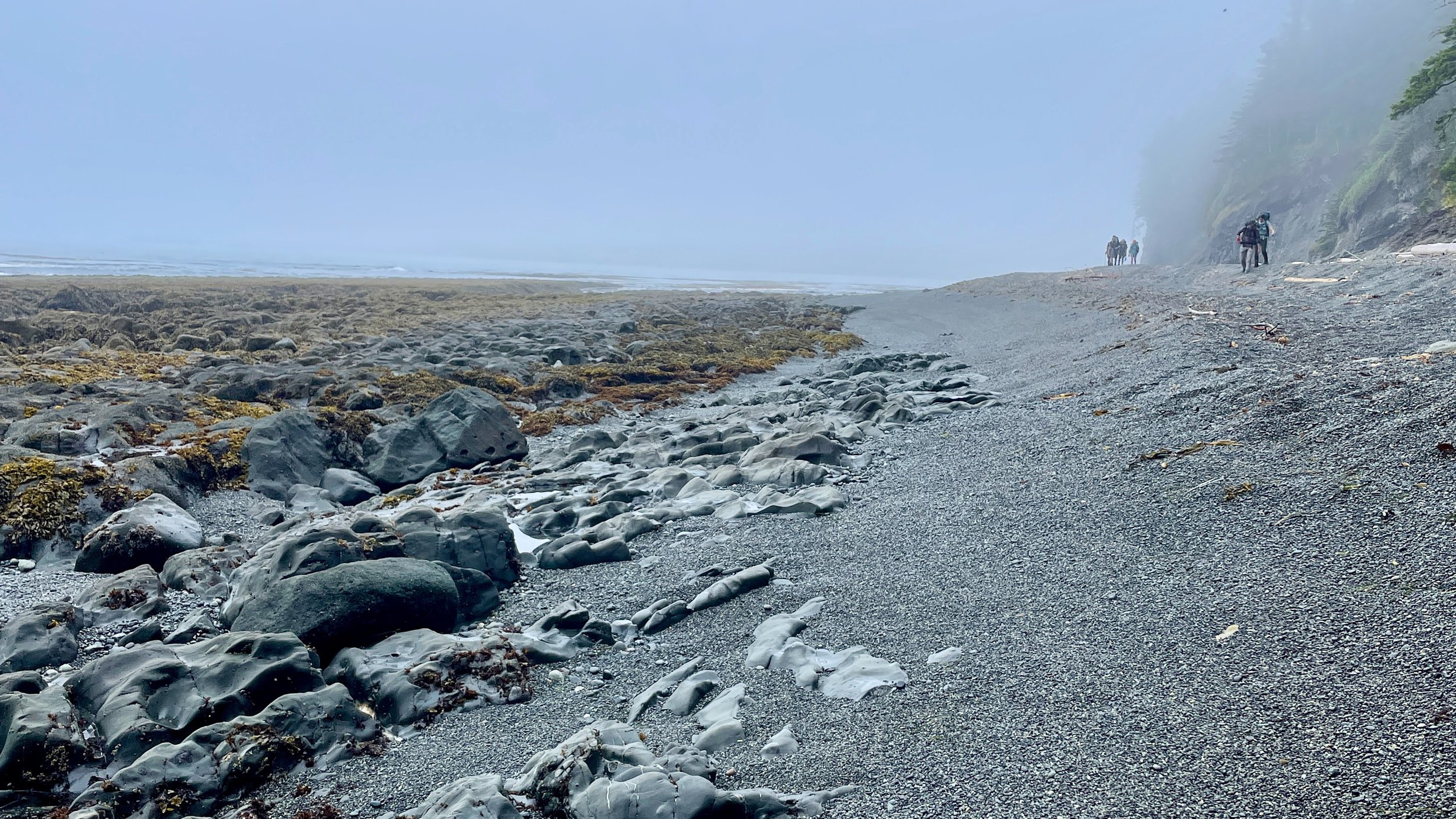
Last March my friend Dan messaged me to ask if I’d be down for spending a week hiking Vancouver Island’s North Coast Trail with two of his friends.
It was definitely the longest trip I’ve been on (six days and six days of hiking!).
Here are a few photo highlights.
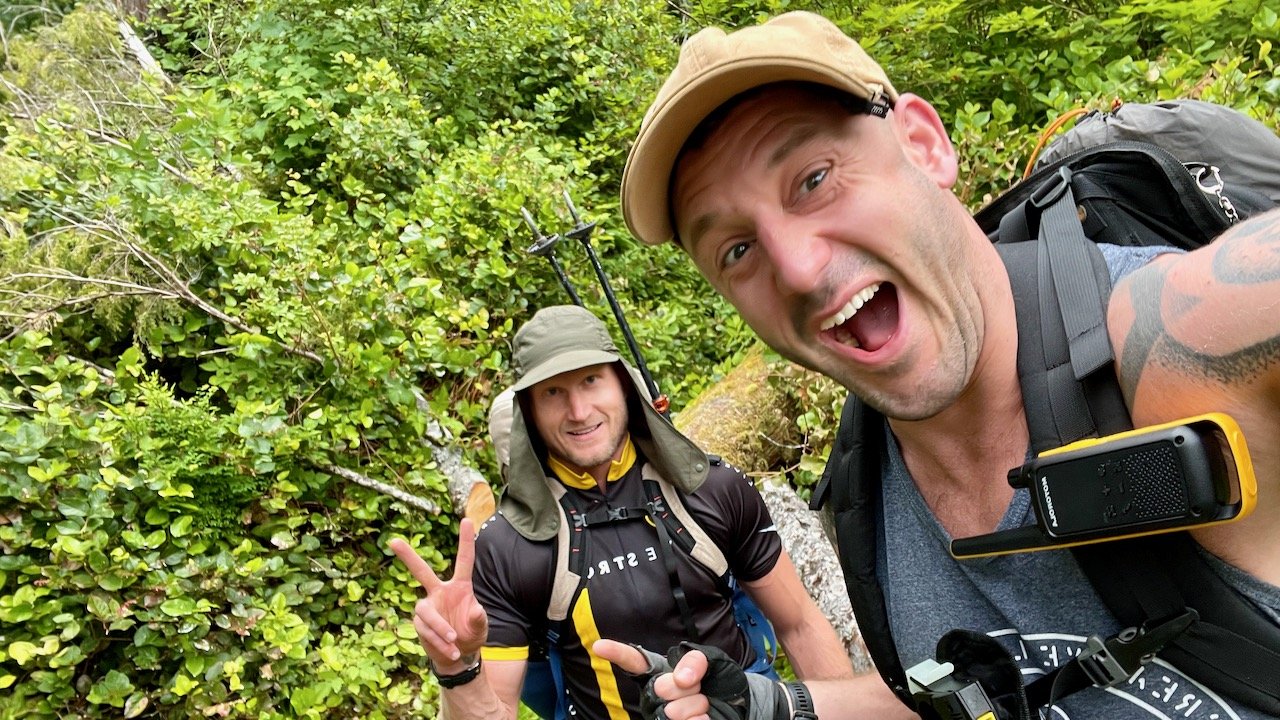
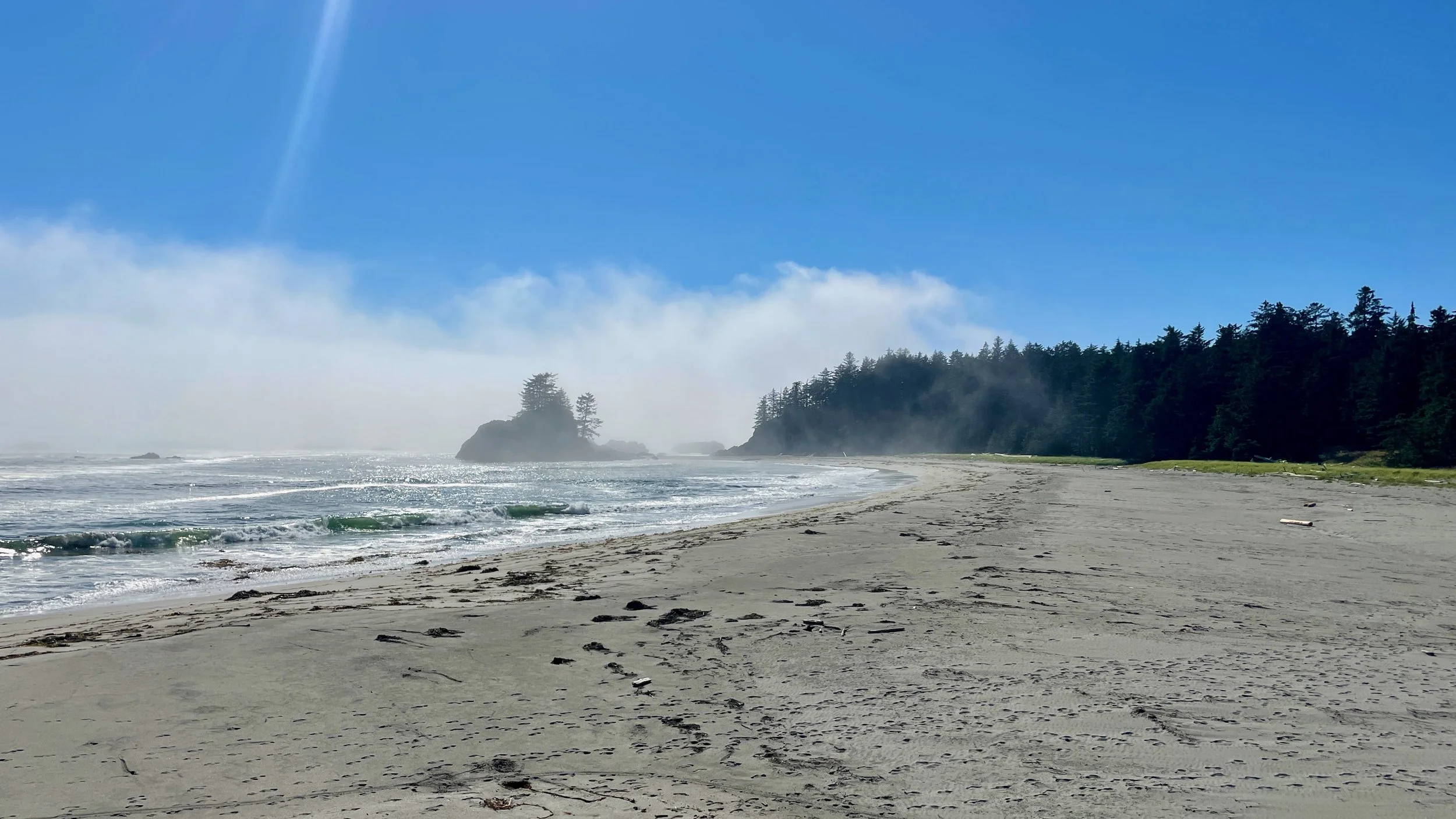
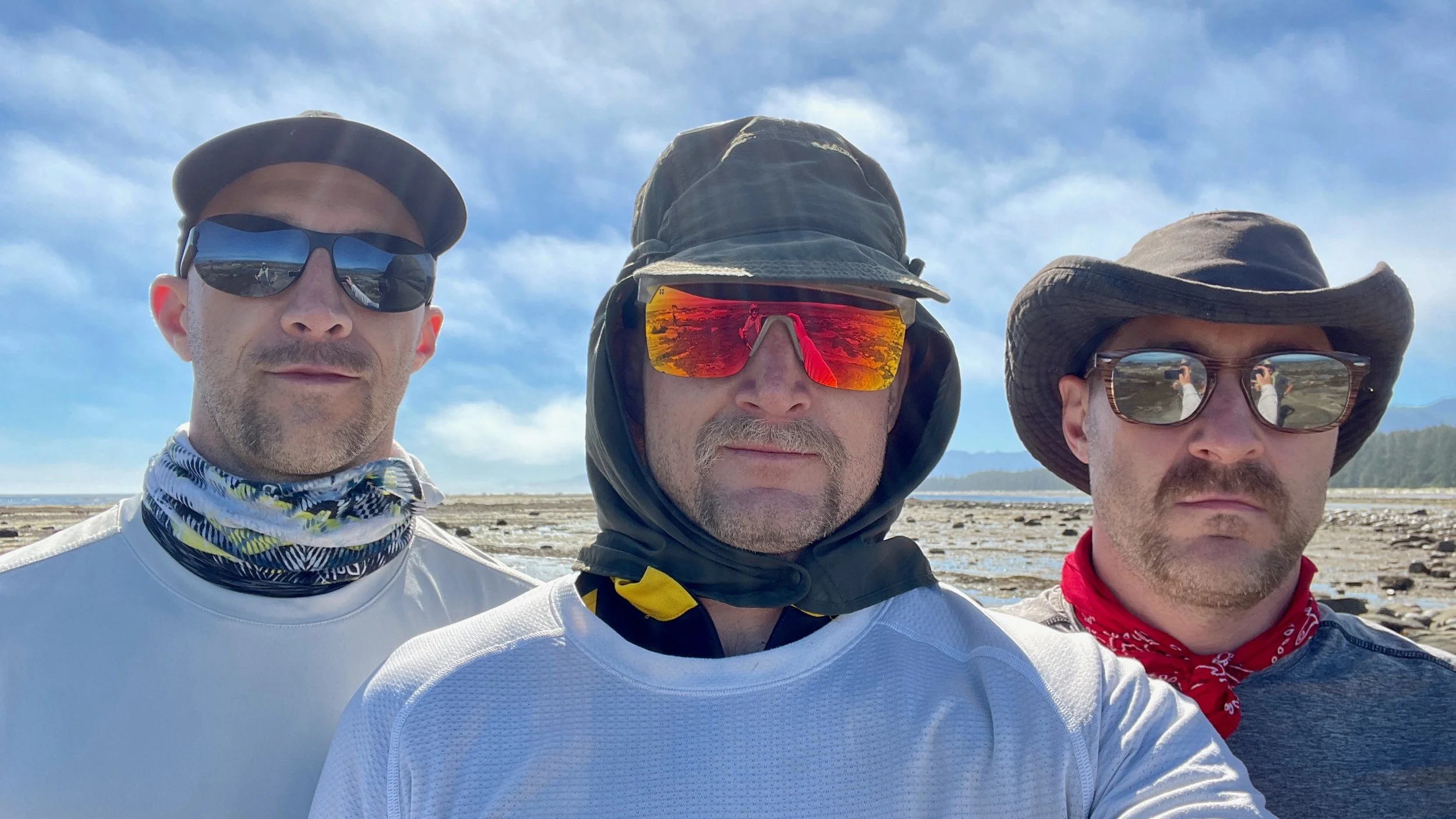
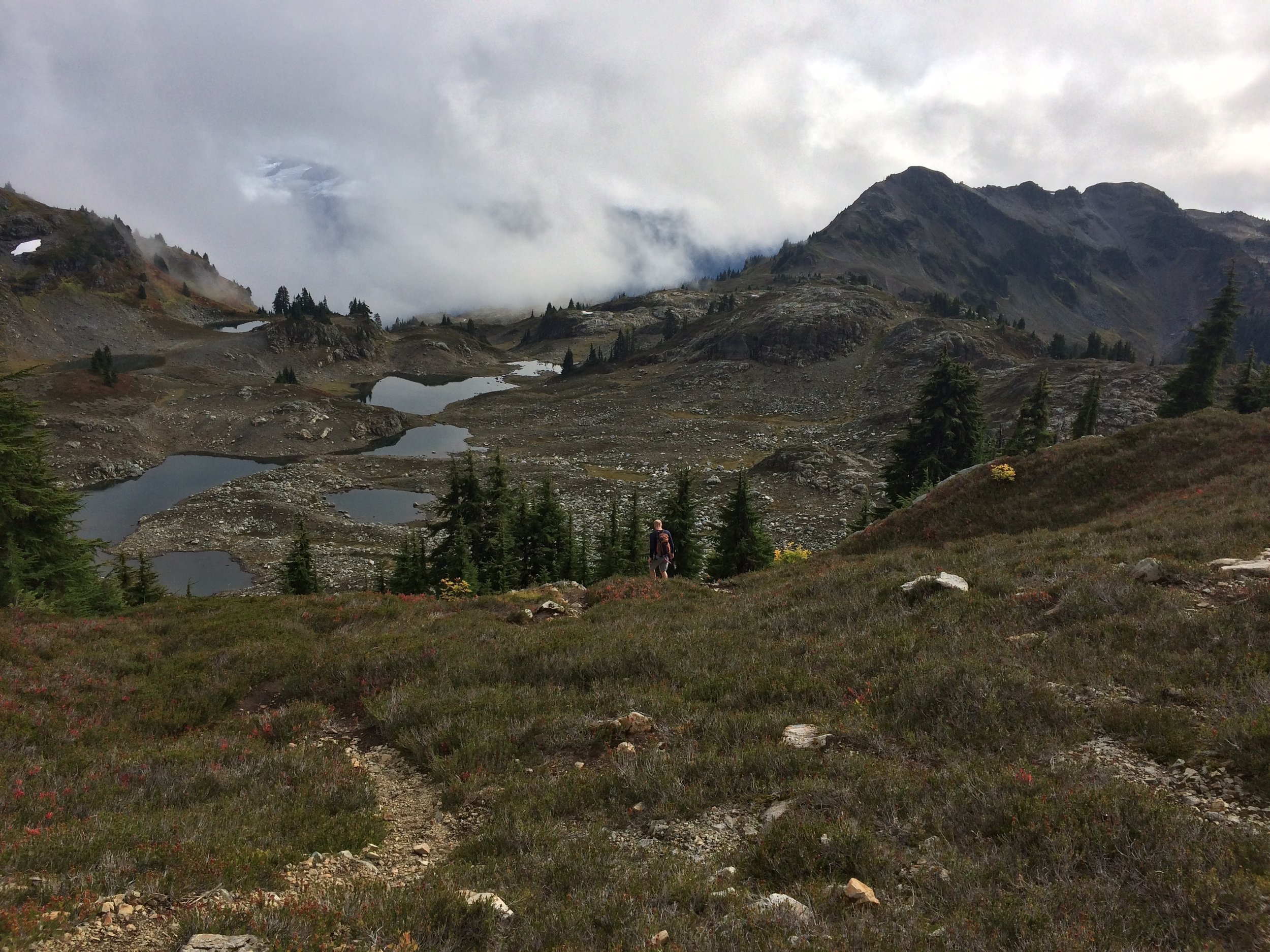
A few minutes after we got dropped off by the boat at the start of the trail. We had hats with flaps and walkie-talkies: spirits were high.

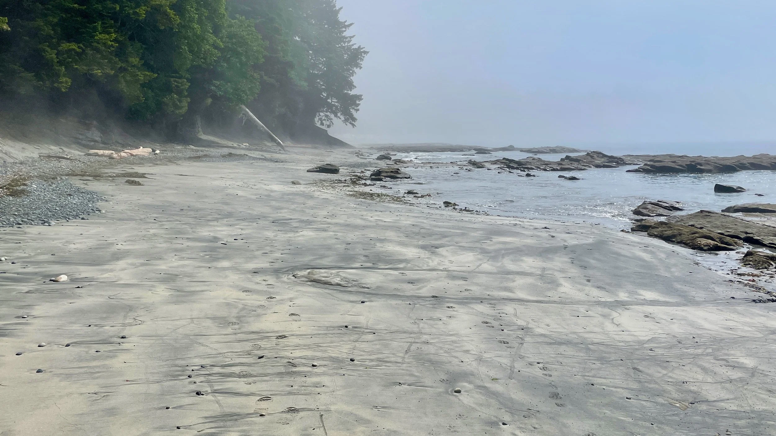
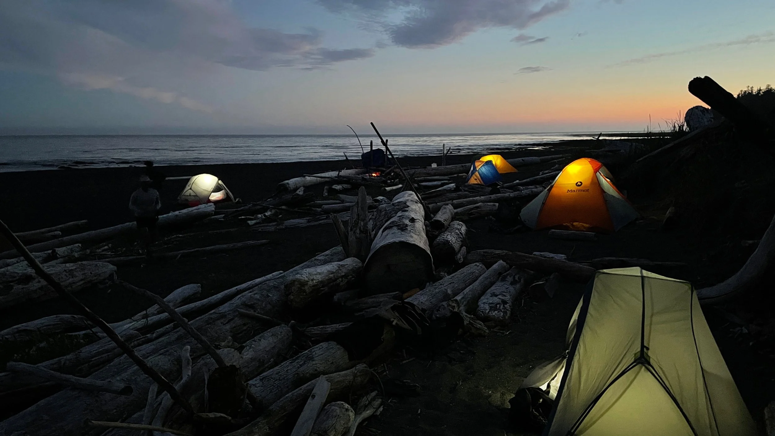
One of our first campsites. Shortly after I took this photo, we saw a whale out in the water and wolves on the beach.
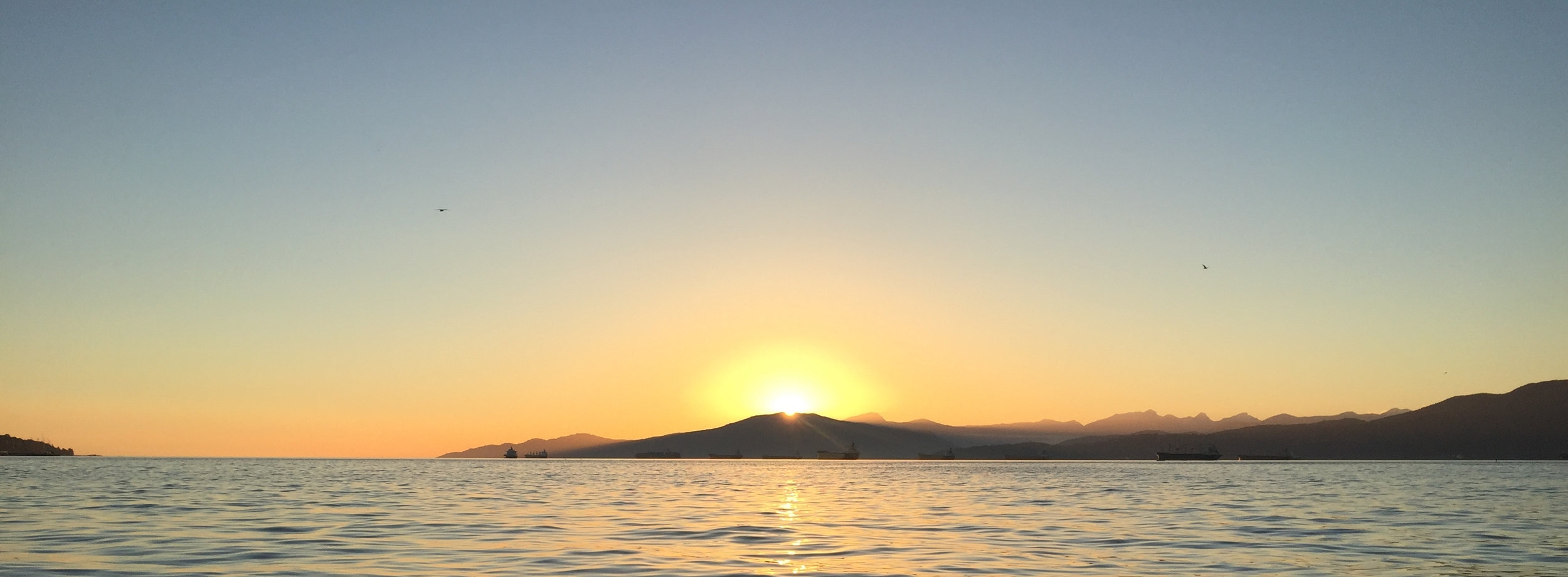
Sunset on the second night.

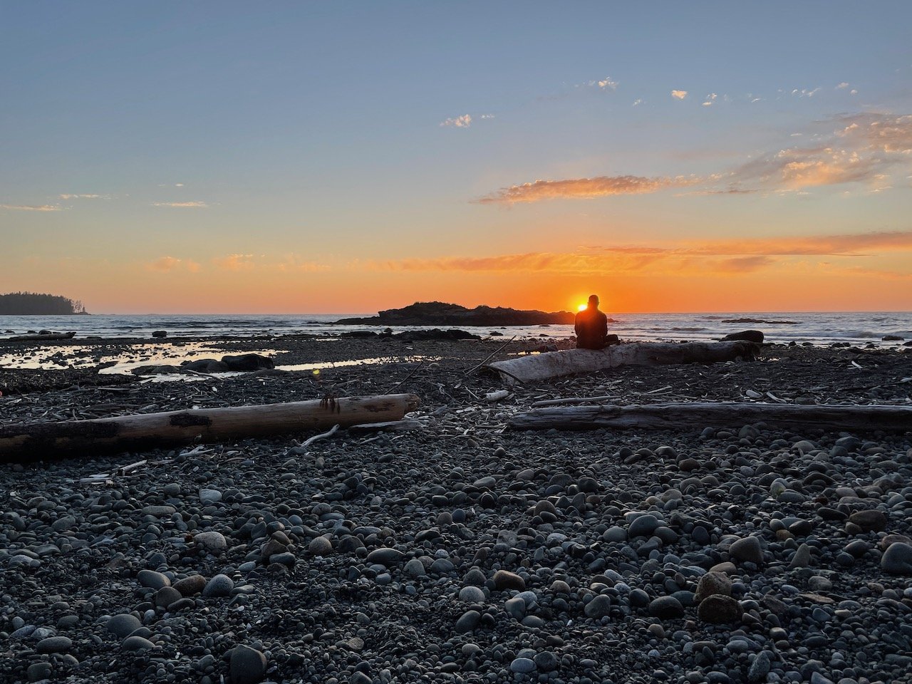
Ewa scoping out the ocean.

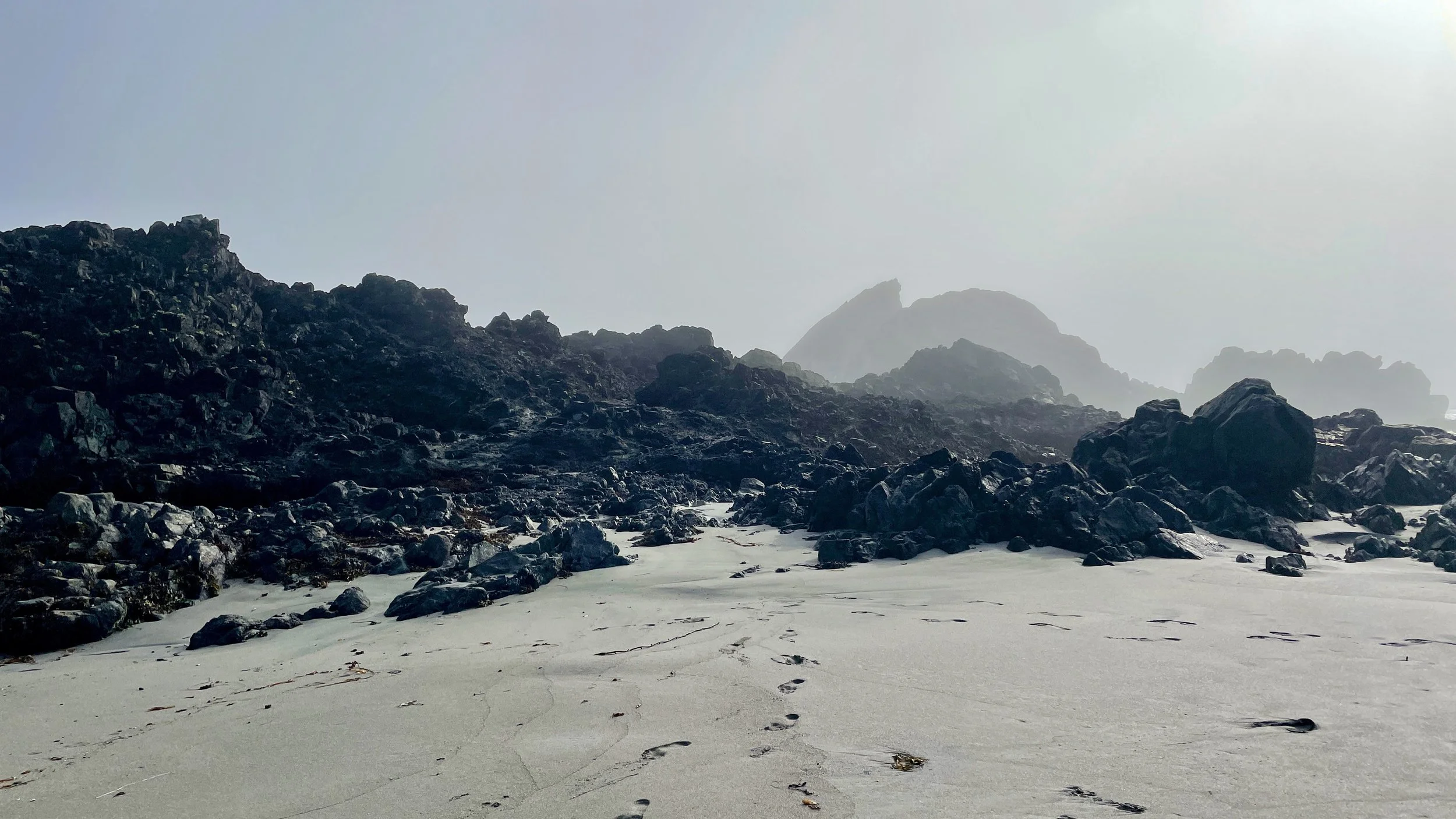
Lots of long days hiking on rocks like this. It’s tough going.
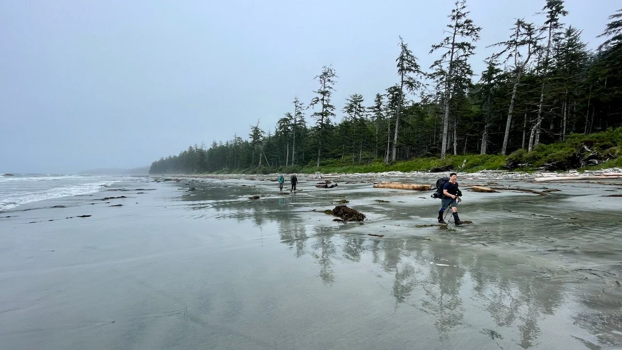
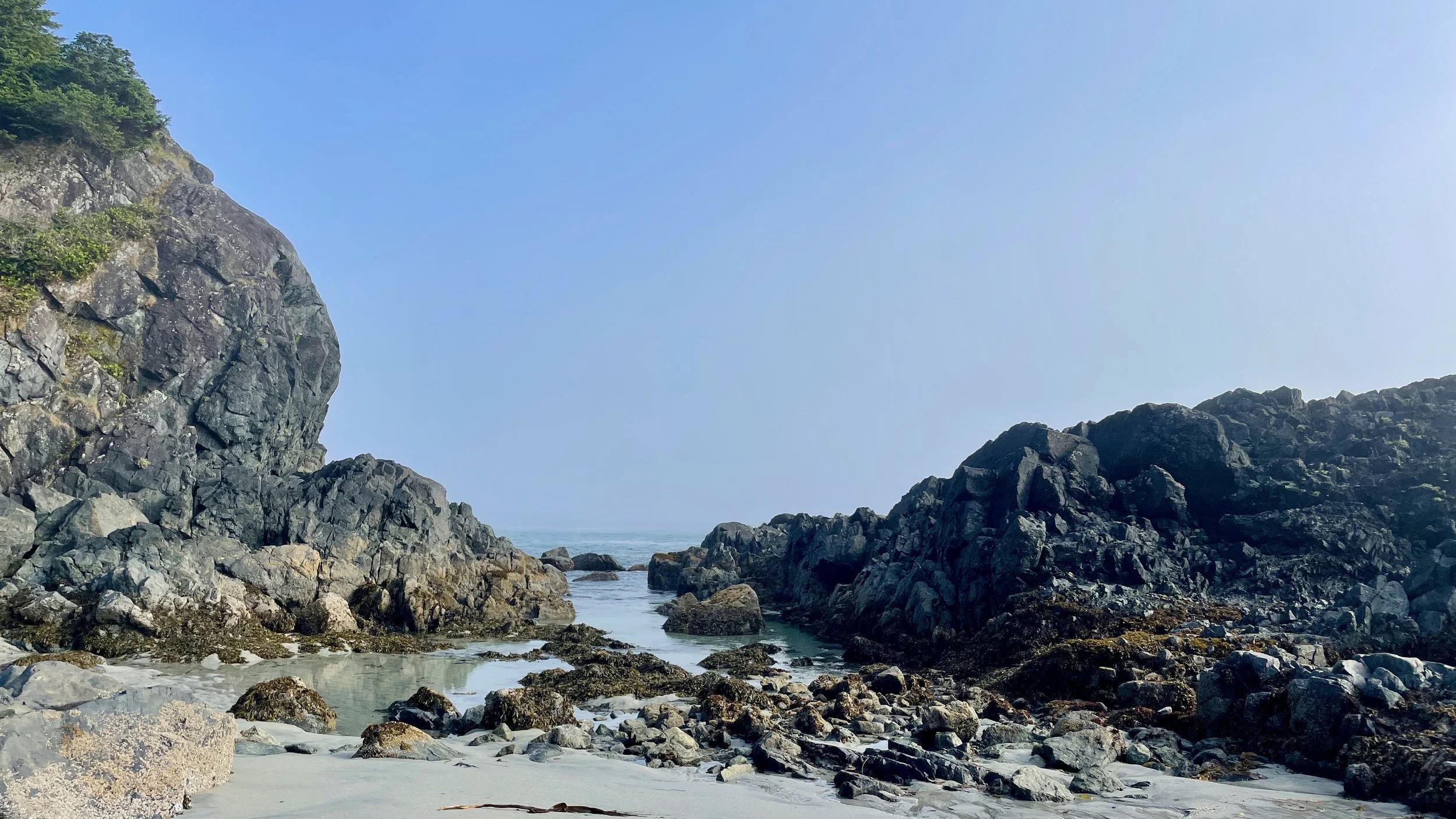
Hours and hours of this.

Beautiful shot of our tents by Ewa.
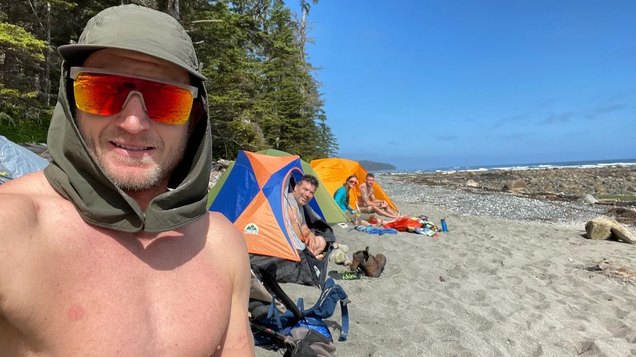
It wasn’t all cloudy weather!
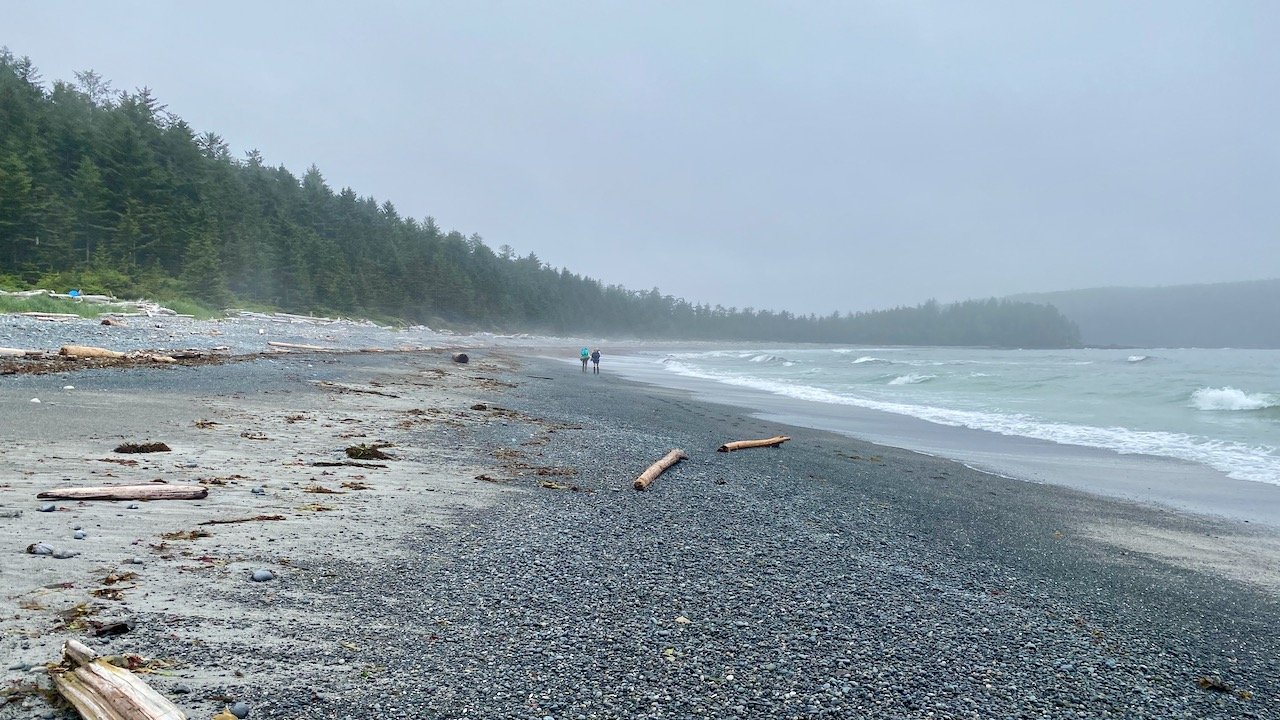
Day…three? Four? Who even knows at this point.

Near the end.
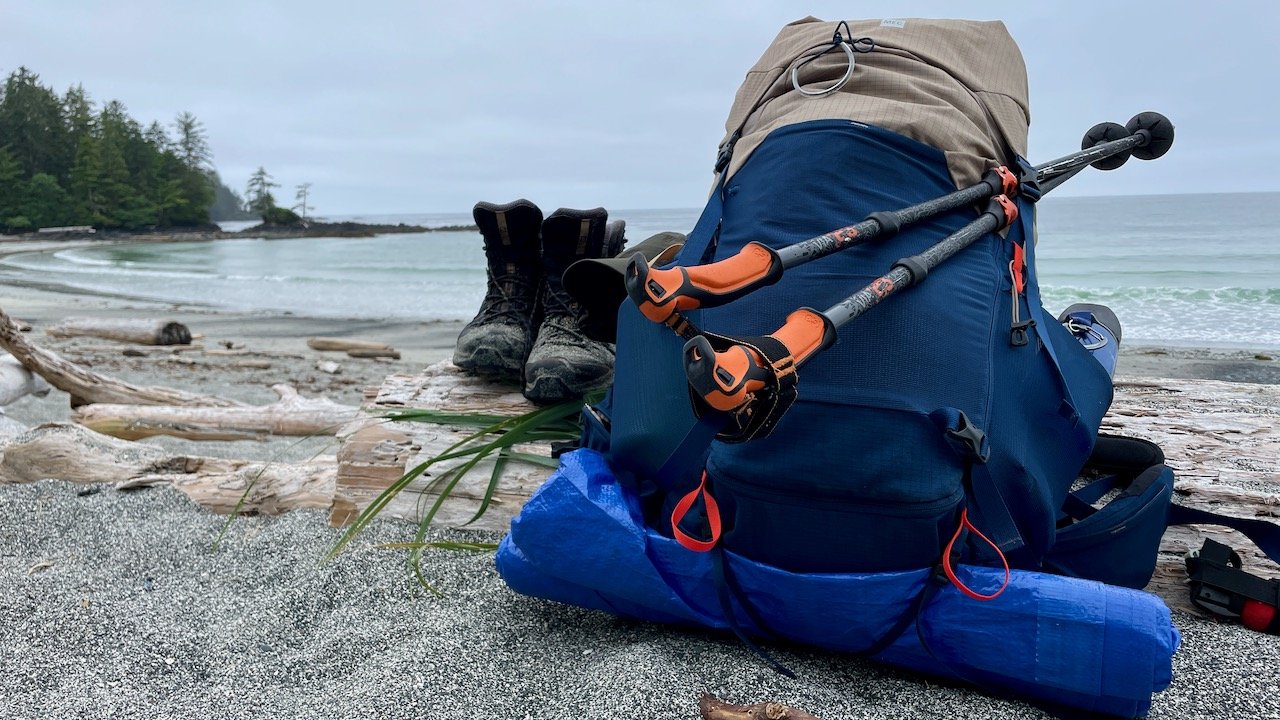
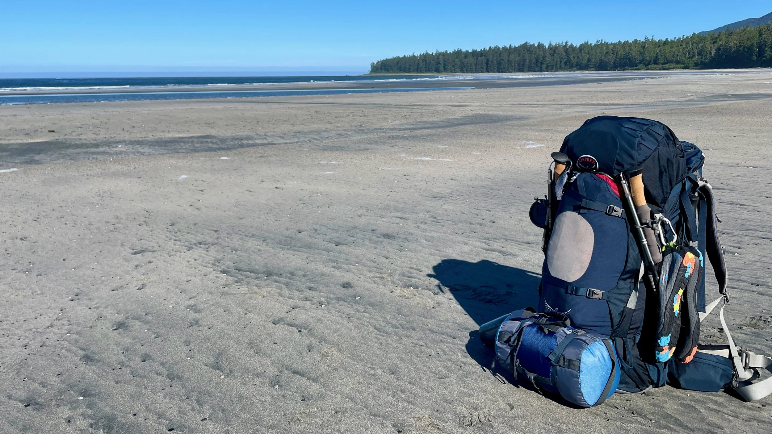
All packed up and waiting for the boat to pick us up.

Pritch catching some Zs.

6 days. 80km and some amazing friends.


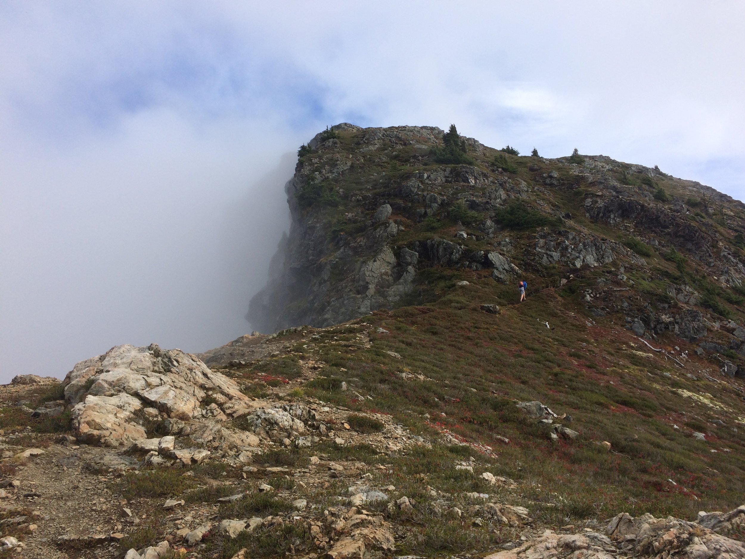
A few months ago, when the weather was nicer and the Covid restrictions weren’t as severe, I hiked Needle Peak near Hope, BC with Ty and Backcountry Pete.

In standard Ty style, we didn’t take the easy route: This view is after an hour or so of bushwhacking to get to the summit of Markhor Peak. You can see our destination - Needle Peak as the peak in this photo.
Markhor Peak, seen after we scrambled down this face. it wasn’t as steep as this looks…but it also wasn’t easy.
Same spot as previous photo, just now facing our objective: Needle Peak. We followed that ridge line more or less all the way up, and I had at least one hand on the rocks at all times. Thanks to Ty and Pete for navigating and getting me through a few of the trickier spots! In the foreground of this photo you can see Pete.
Summit smiles

The crew after having a beer and hiking part of the way down.
It was a pretty good day out there, though I don’t think I’d recommend the route we did unless you know what you’re doing. And I’m not sure I could even find it again. The easy way up, and route of our descent, can be found here.
Thanks again for the great adventure day, Ty and Pete! Always good being in the mountains with you guys.
Almost a year ago I came up with the idea for an epic one-day mission on Maui: Hike from sea level to the top of Haleakala, a dormant volcano with a summit at 10,000 feet, then ride a bike down the paved roads on the other side, almost 80km, back to where my parents live.
Last week, I made it happen.
On Friday, I rented a bike and drove it up to the to the summit, then went to bed super early that night.
On Saturday morning, I woke up at 4:00am and got picked up at 4:30am.

At 6:15am, my ride and I arrived at this spot just a little bit north of the Kaupo General Store (its on the East side of the island, south of Hana). It wasn’t exactly sea level, but close enough for my purposes. Once it was light enough, I said goodbye and hiked down the road to the trailhead.

Walking along the road on the way to the trail head - this seemed like such a perfect Hawaiian scene.

After gaining some elevation, I saw the edge of the sun hitting the rim of the crater.

Stopped for a drink of water and a snack here, looking South East.

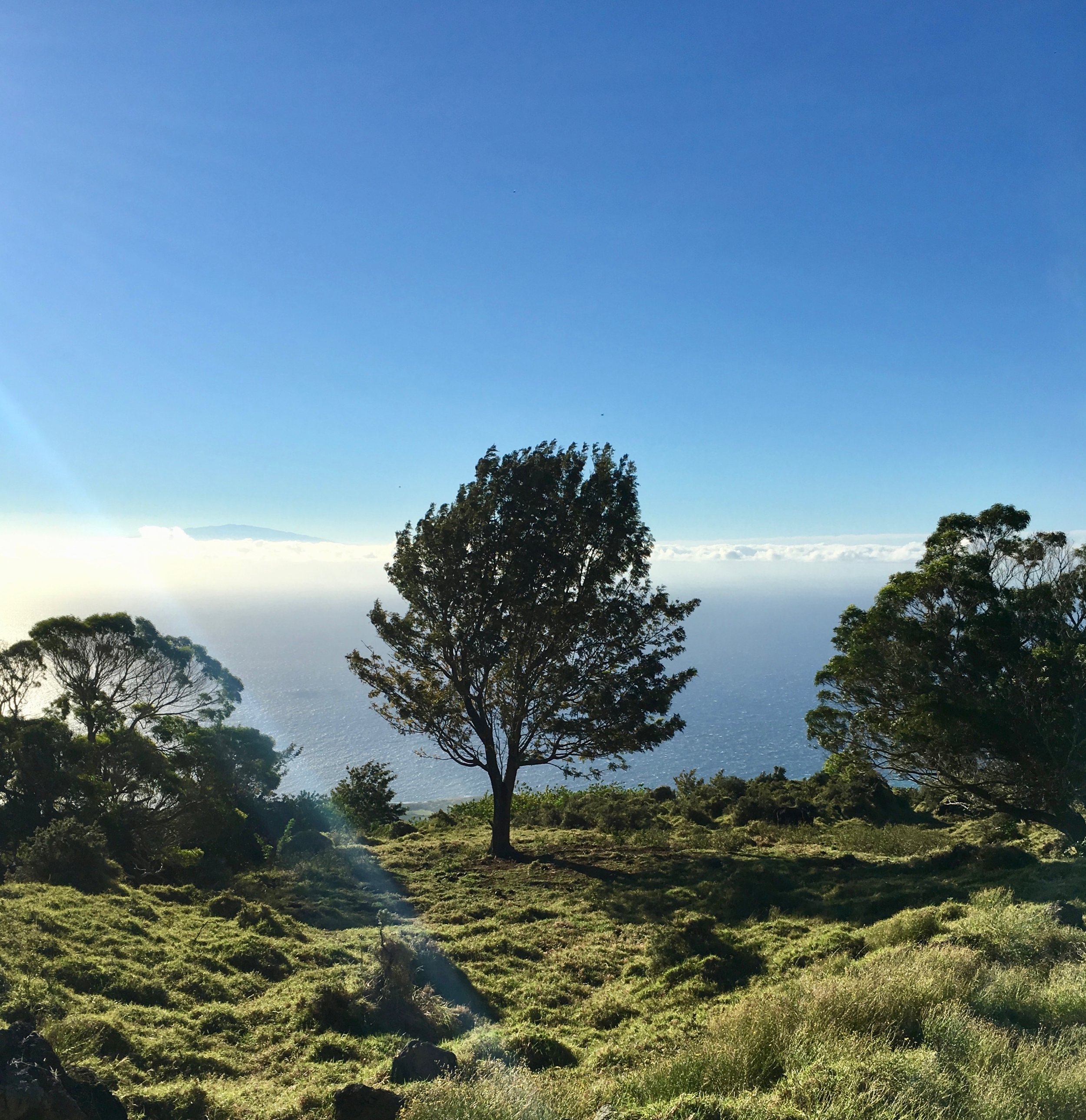
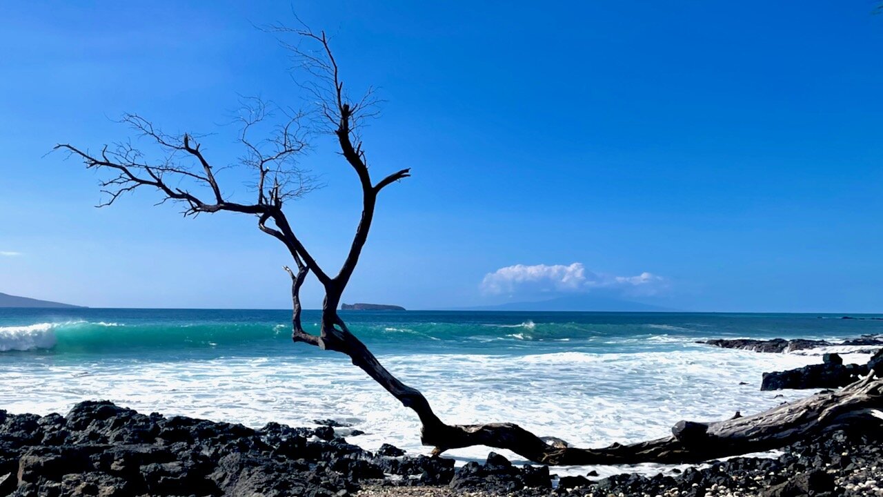
I thought this tree looked neat - plus you can see the tip of the big island above the clouds behind it. Elevation here is around 1000m/~3,000 feet.

Just before entering the national park boundary - the “trail” is a little bit tricky to find (I don’t think many people hike this route. It’s a good thing I had a good GPS app!)

The view after a few hours of hiking - almost above the clouds here. The trail was a bit better, and I regret that I didn’t get a better picture of the crater wall (just to the left in this photo). It was massive, and really gave you an idea of the scale of Haleakala.

In the crater properly now - it’s an incredibly desolate and beautiful landscape. It feels like Mars (which is probably why I like it so much - if you know me, you know my obsession with the Mars trilogy by Kim Stanley Robinson).
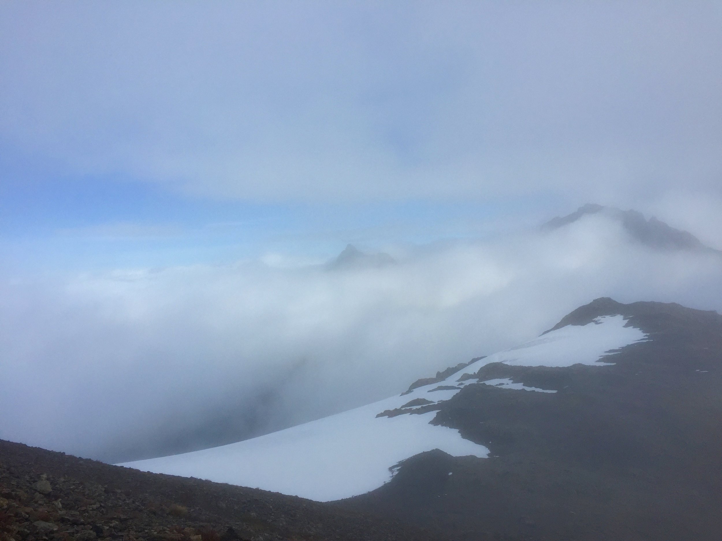
The summit is barely visibly in the left of this photo. The elevation of the crater floor is around 2,000m.

View from the summit, at around 3,000m or 10,000 feet. The last 500m climb was incredibly tough- I was super exhausted after hiking for 7ish hours, and was also really feeling the elevation.
The far wall is where I hiked from, and almost the entire last third of the hike is visible in this photo.
Look closely and you can see a near-full moon (there’s probably a better term for that…) in the sky.

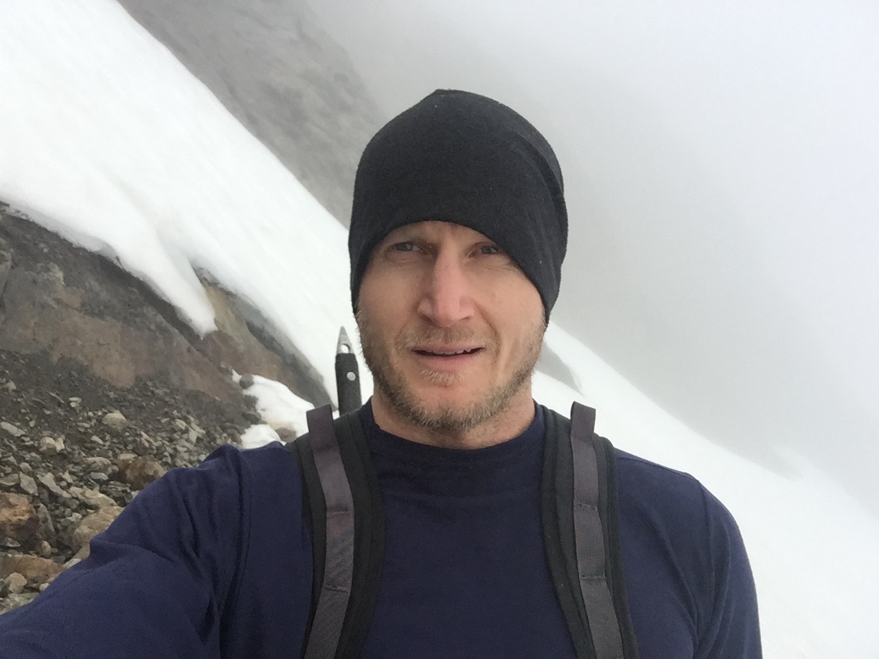
Then after a short break for water and to text my parents (gotta let them know I was safe!) I hopped on the bike that I had left there the day before….and rode down the paved roads on the other side. The first 55km were pretty much downhill (and cold!). Then it was flat cycling for about 25km.
I was super focussed on not getting blown off the side of the road by the wind, and also on braking enough so I didn’t go into the hairpin turns too fast, so didn’t really enjoy the view.

I made it home in time to have a beer and watch the sunset with my dad.
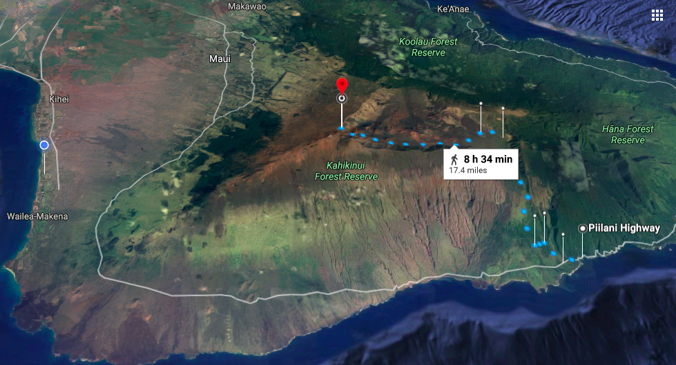
The hiking route (Google’s projected time was 8h34m, which was pretty much on the mark (I think I finished in a little over 8 hours)

The bike ride (which took about 2h45m).
Some notes on this hike:
I had 3.5 litres of water with me - it wasn’t enough. I’d recommend much more than that if you’re doing this hike.
The hike from Kaupo General Store into the crater is absolutely brutal - much of the trail is like an old ATV trail with big, loose rocks (I’m used to New Zealand and British Columbia, where the trails are in much better condition!) I chalk this up to this section being rarely used.
Use a a map app! I used Gaia GPS, and made sure I had a map of the region downloaded. There were a few sections where the trail was hard to find.
I really felt the elevation/altitude at the end - the last 500m of elevation were some of the toughest I’ve done.
In the midst of all the forest fire smoke a few weeks ago my friend and I took a Tuesday off work to hike to Wedgemount Lake.
Vancouver Trails describes it as "the most difficult hike in Garibaldi" and a "gruelling trek" with "spectacular scenery."
I was into it.
A lot of the hike was like this, but steeper: classic BC landscape.

After a few hours of hiking, the trail flattened out a bit. You can see the haze in the air here from the smoke.

A few more steps and we saw the lake - the light quality was surreal, and really made it feel like a different planet. You can see the glacier in the background of this photo.

We hiked out to the other side of the lake to get a different view. Once again, you see the smoke in the air.

We worked up a thirst on the way up.

We hiked all the way to the glacier - maybe one of the last times to be up close to one with the way the world is going.

Some beautiful mountain flowers.
All in, it took us about five hours round trip (though that was with lots of stops for photos and lunch).
I'd really recommend this hike - it's probably even more beautiful on a clear day.
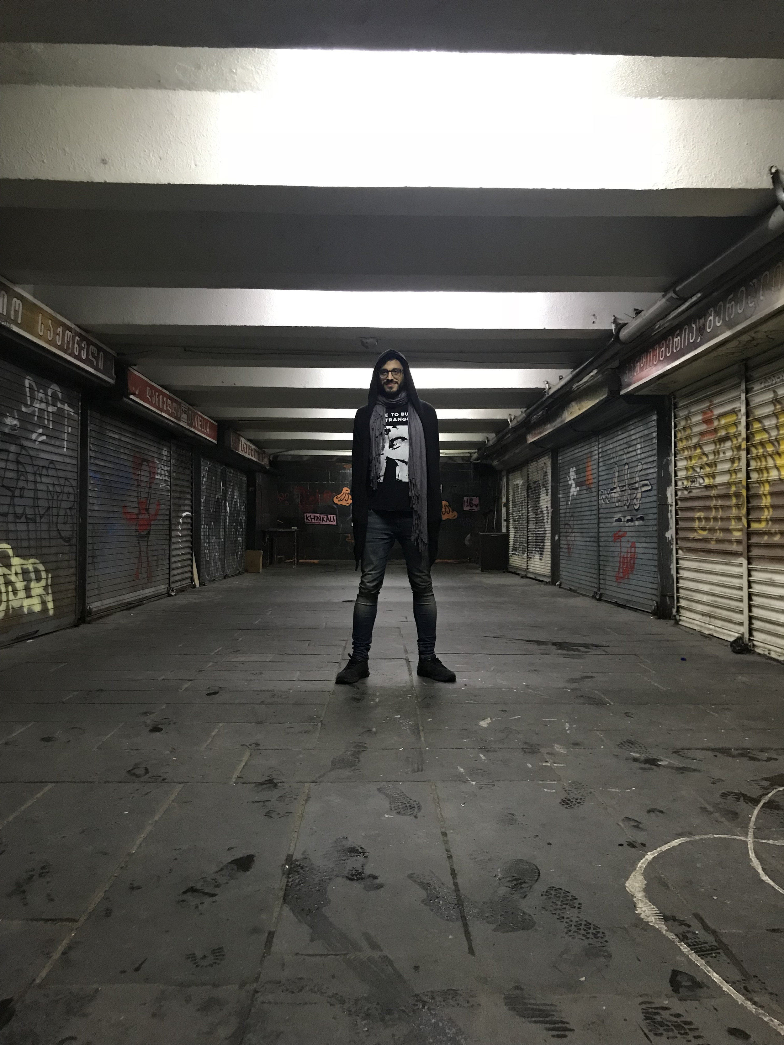
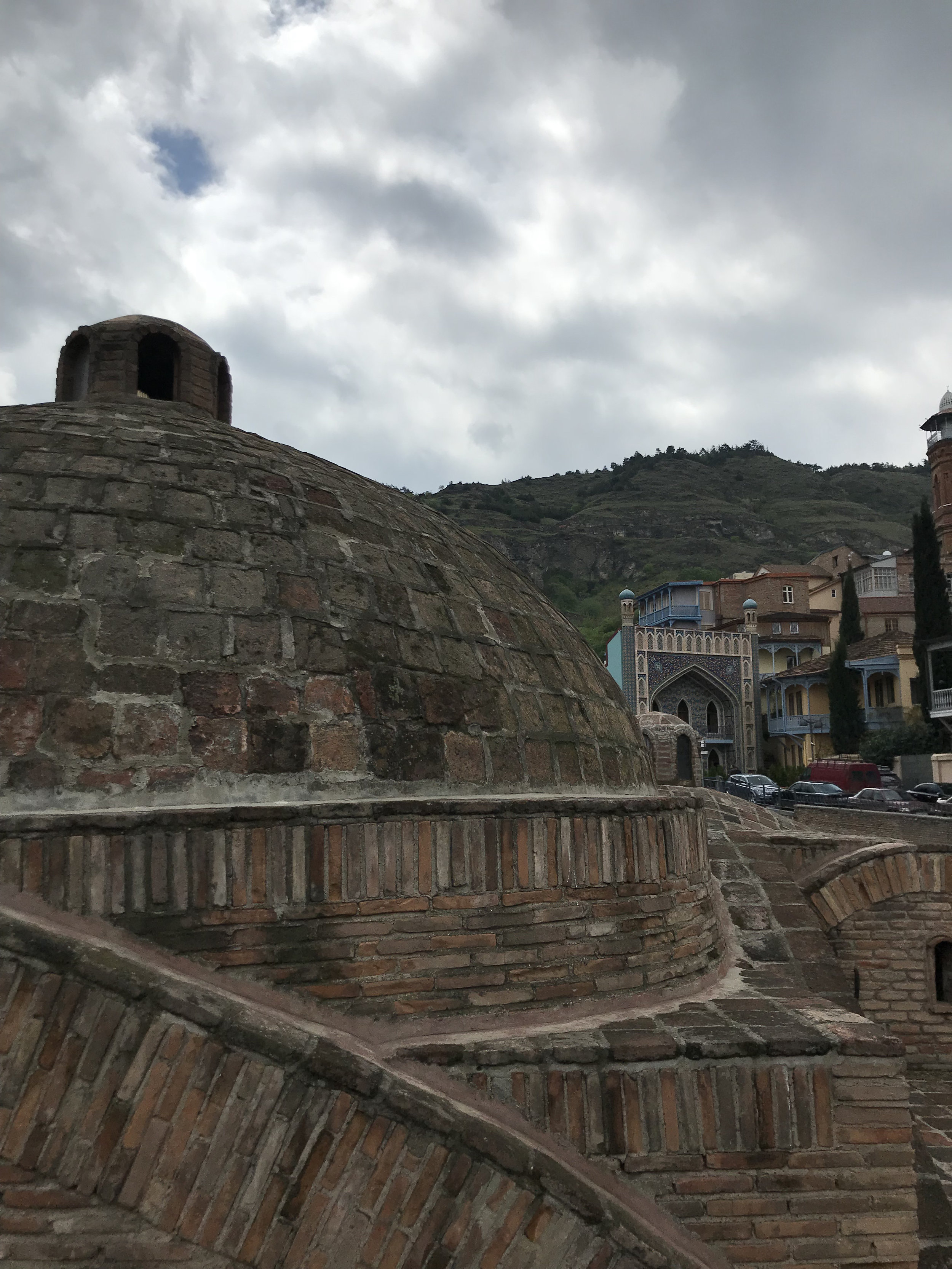
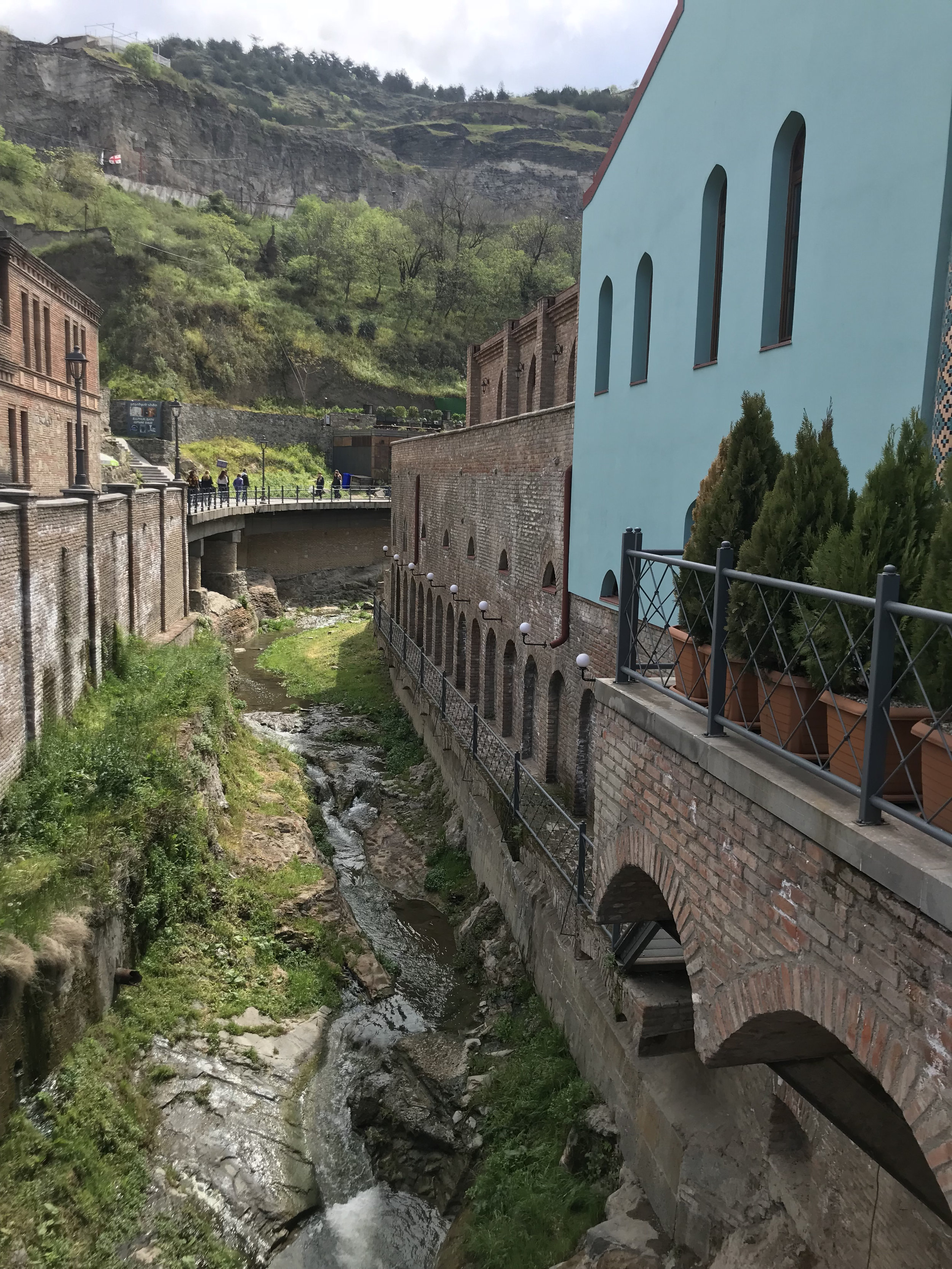
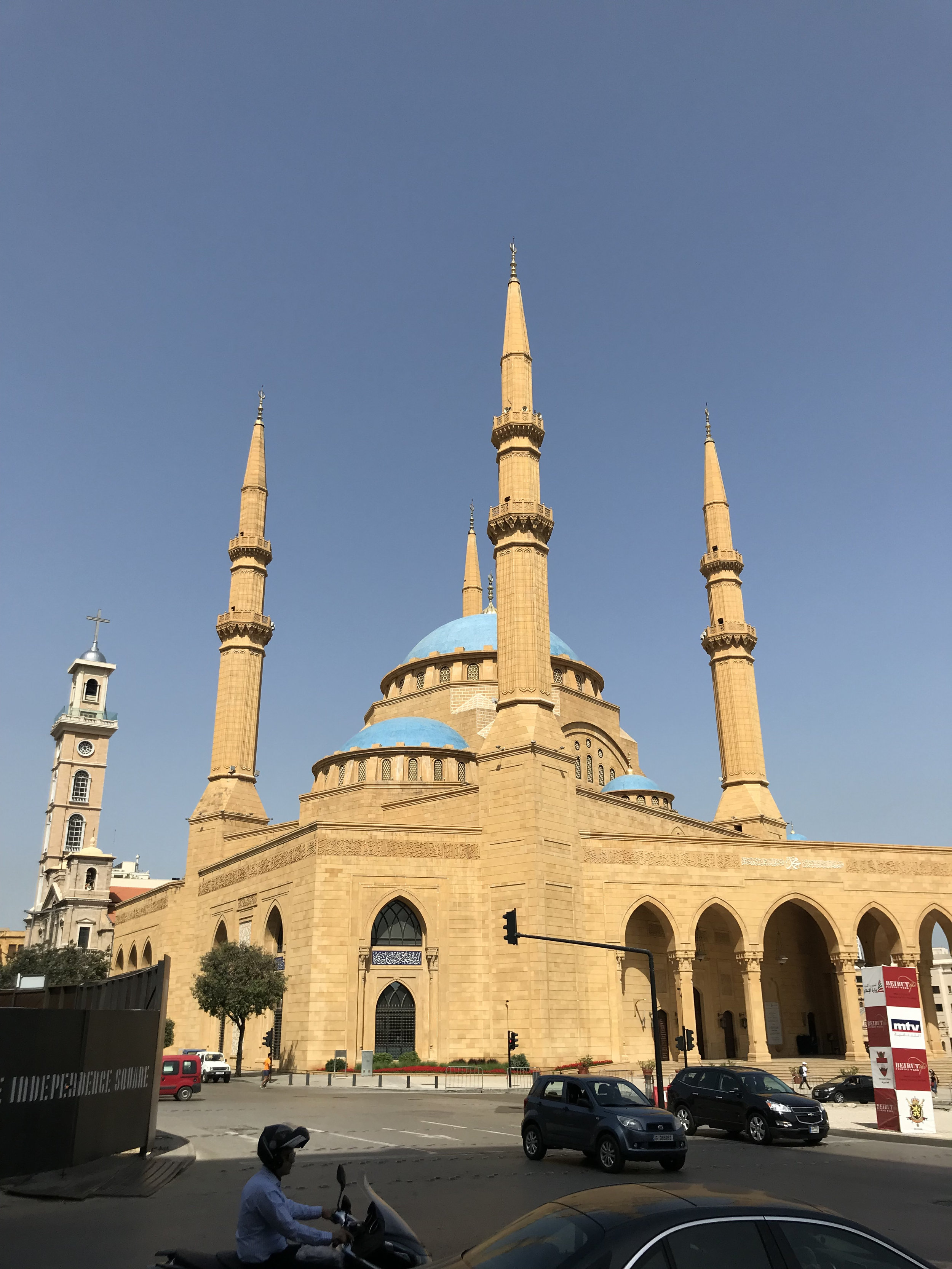
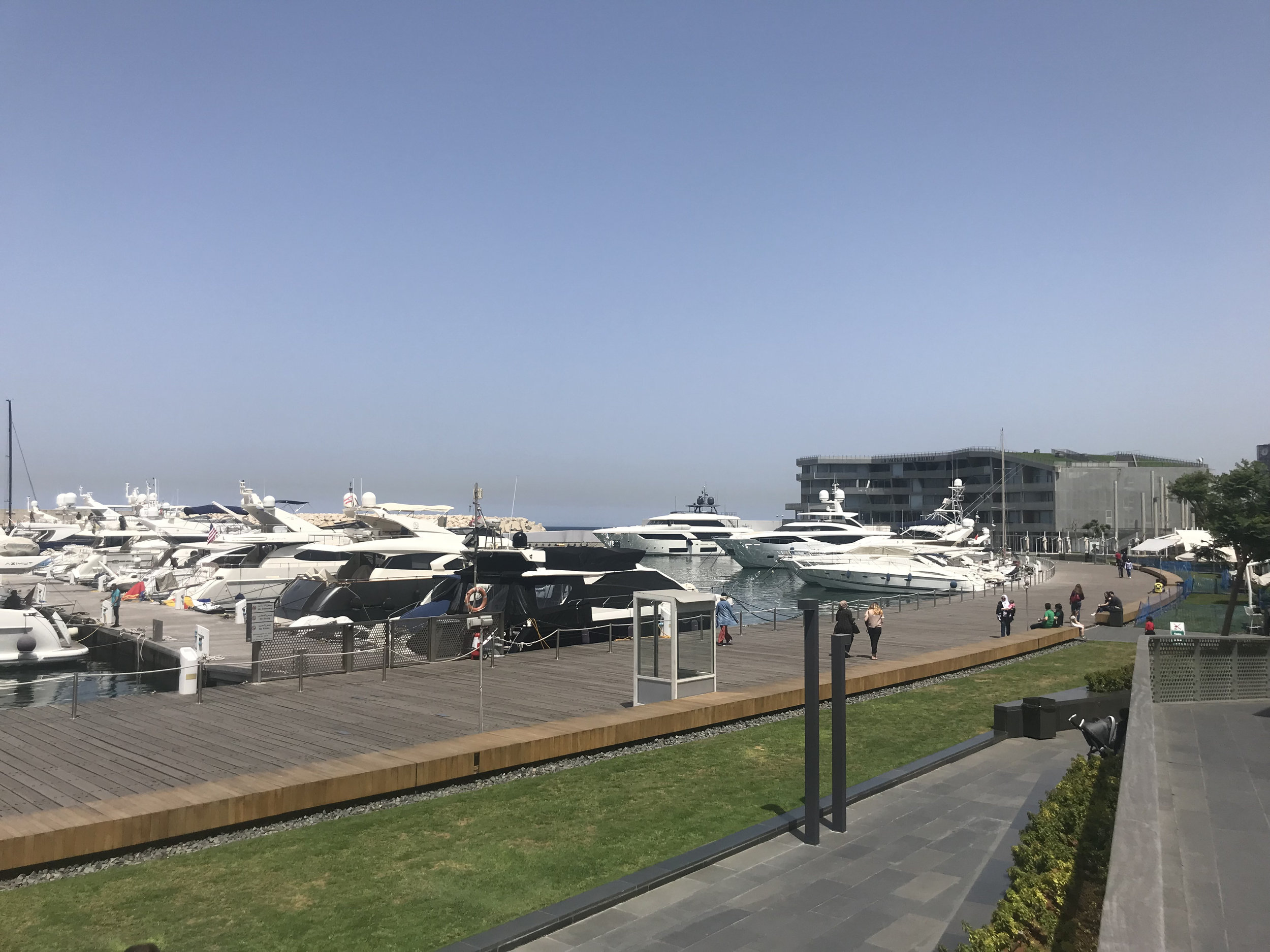
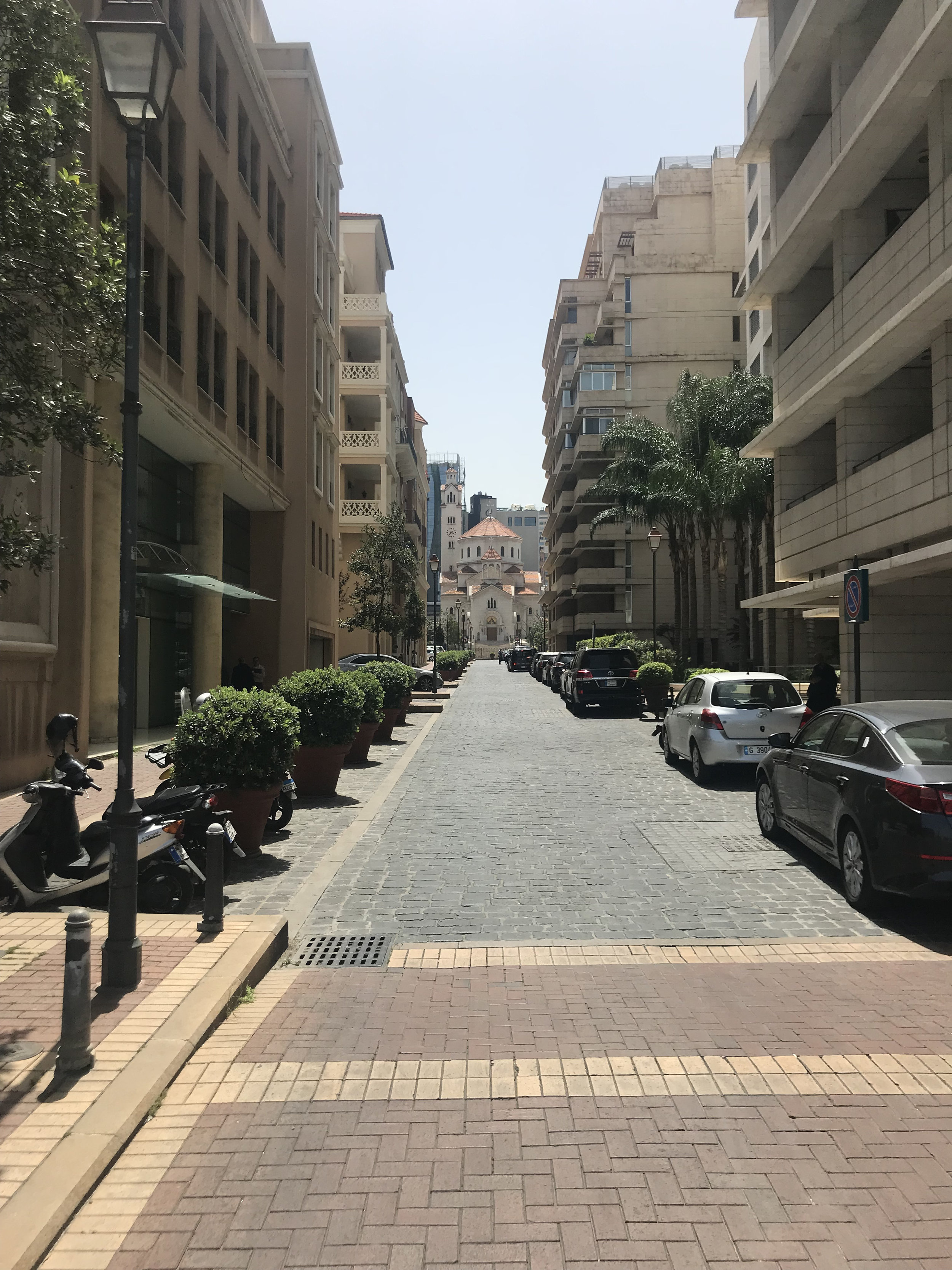
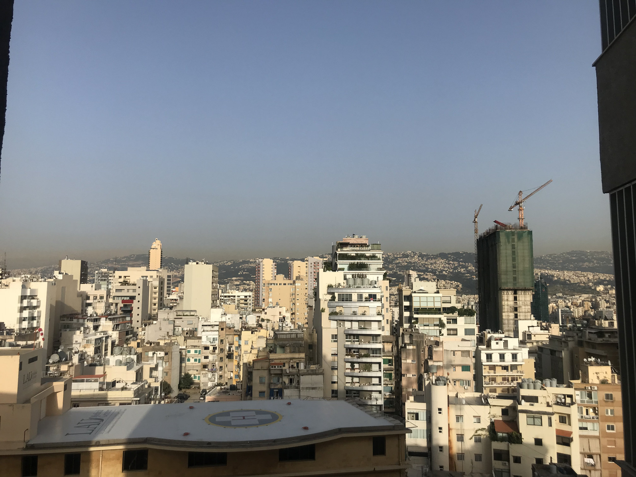
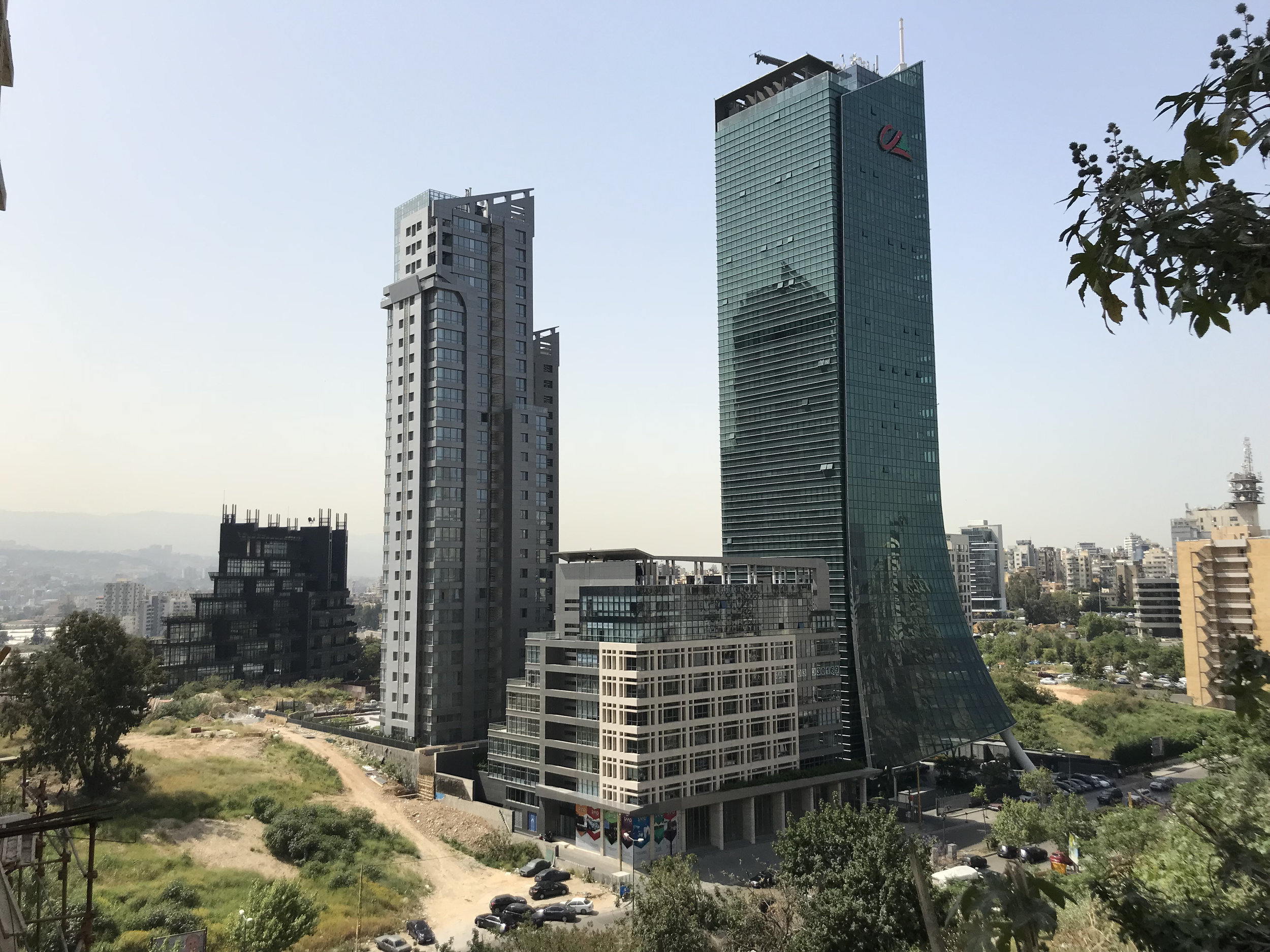
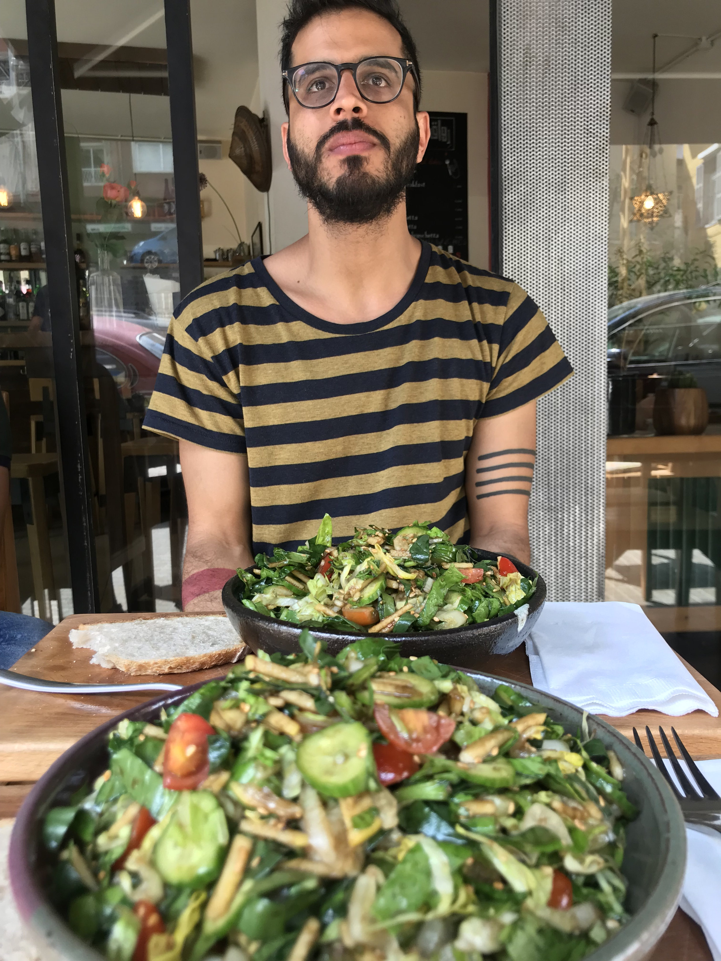
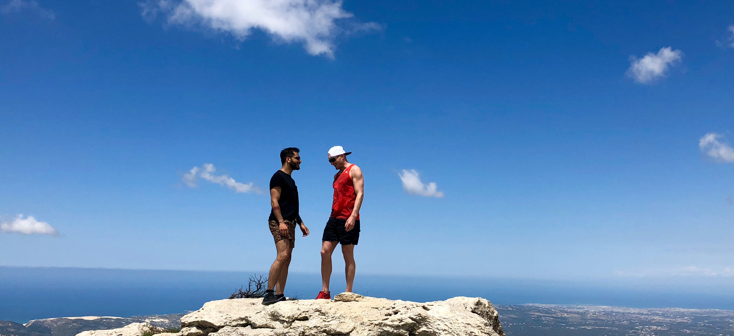
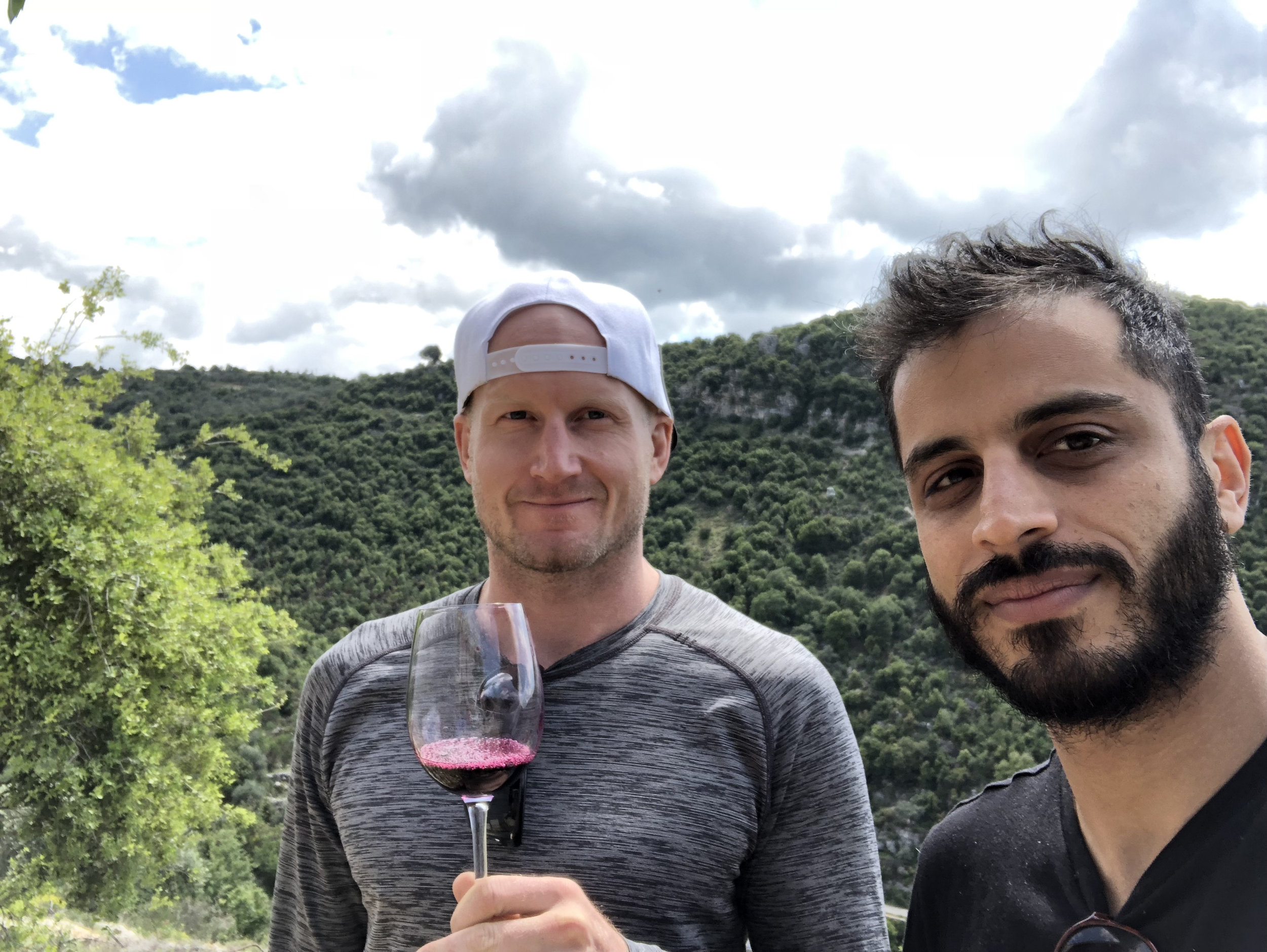
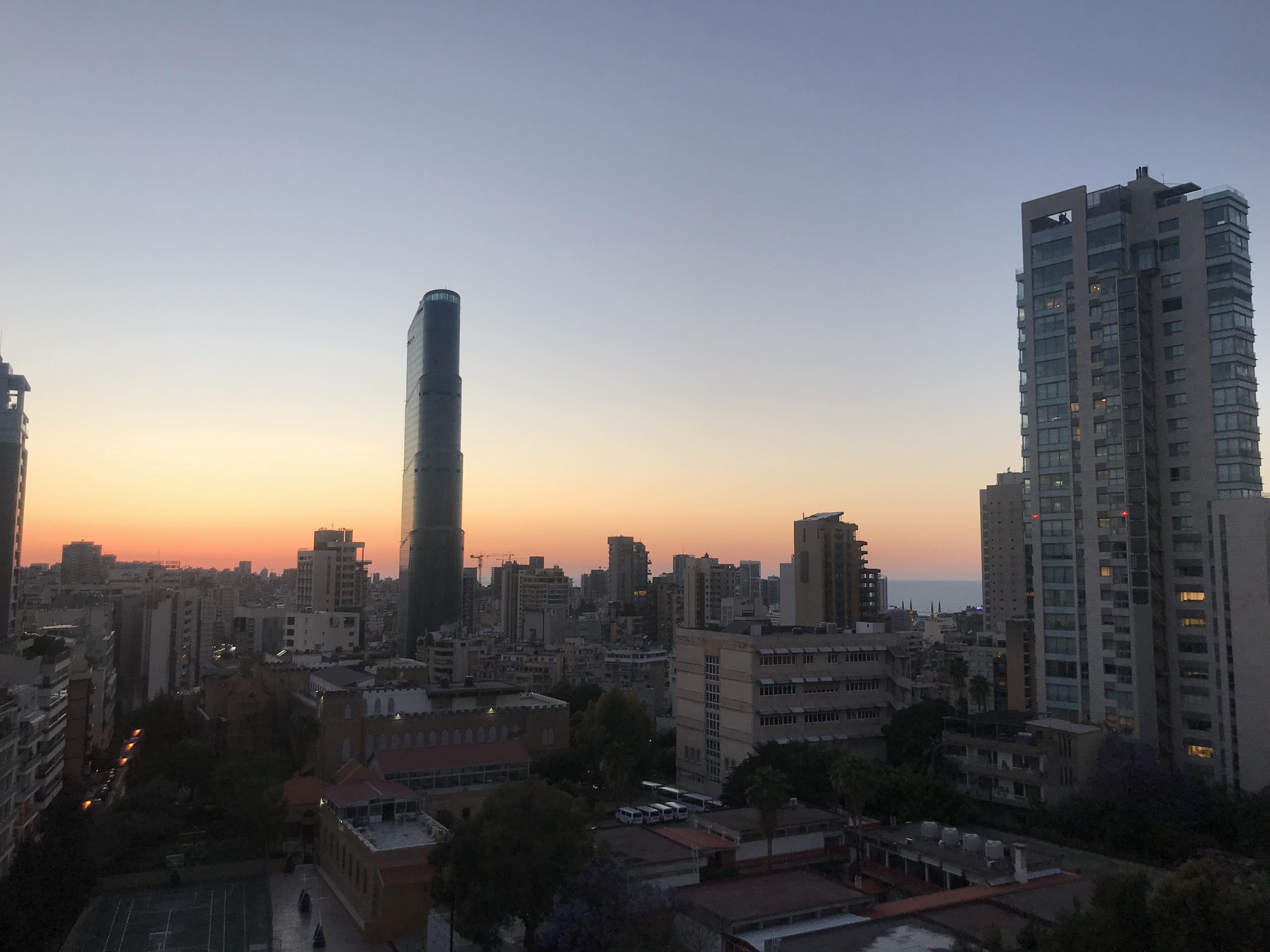
Every once in a while things line up for the opportunity to take the trip of a lifetime. In this case, it was the combination of a flexible work schedule and my friend Amir living in Beirut.
I'd never really had a huge interest in visiting the Middle East (or Eurasia),

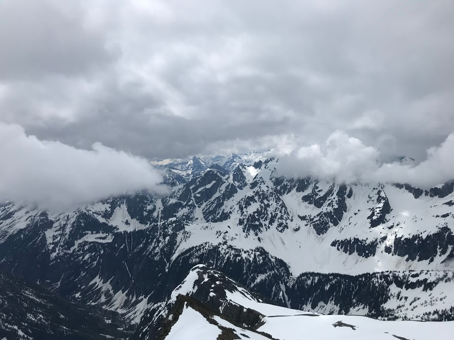
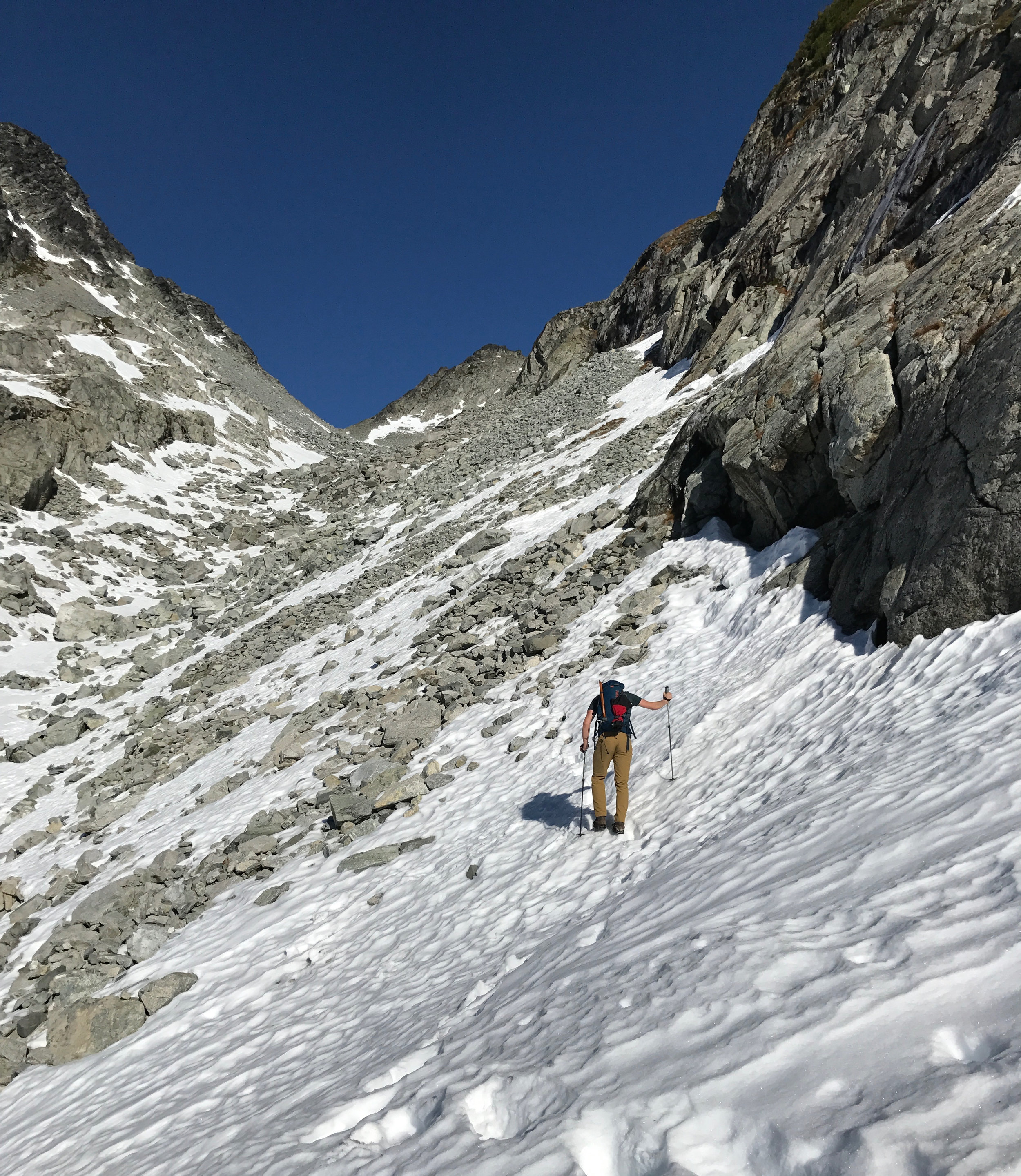
During the Victoria Day long weekend here in Canada, I drove down to Washington State to go ski touring with a couple of friends.
It was one of the tougher trips I've done (that said, it feels like every trip we do is the toughest one I've done!) and really pushed me out of my comfort zone.

Some of the gear. Not picture: skis, poles, boots, additional warm weather gear.

After a 5km walk down a logging road (in ski boots, carrying our gear), we should have had an fairly easy ski up to camp. Snow conditions were brutal, it was a lot more technical than we thought and there was a lot of swearing.

Our camp on the fist day. This was either immediately before or immediately after we got hit with freezing rain, and laid low in the tents for an hour or so.

Sunset view from camp facing the other way.

Sahale Peak was our destination: that little black triangle in the centre of the photo. It was still a a long ways off, but the weather was great. This photo was taken around 8am, after a 6am departure from camp.

Rearranging gear and getting a drink as we head up Sahale Glacier.

Pete out ahead, boot packing the last snow section until the peak. It was steep.

Just relaxing before the summit.

Different angle as previous photo. Just chilling near the summit.

Ty lead-climbing the final summit section with his skis and gear - what an animal! He was planning on skiing off the far side, but conditions weren't good for it.
Not pictured: Me freaking out when I had to climb this section and almost not making the summit. Thanks for pushing me through it, Ty and Pete!
Pete's boots as he belays Ty.
Summit view.

Rappelling down from the summit (thanks for the photo, Ty!).

We found some nice snow to ski down on the descent. Not pictured: my huge, wide turns (my legs were too tired to make pretty turns).
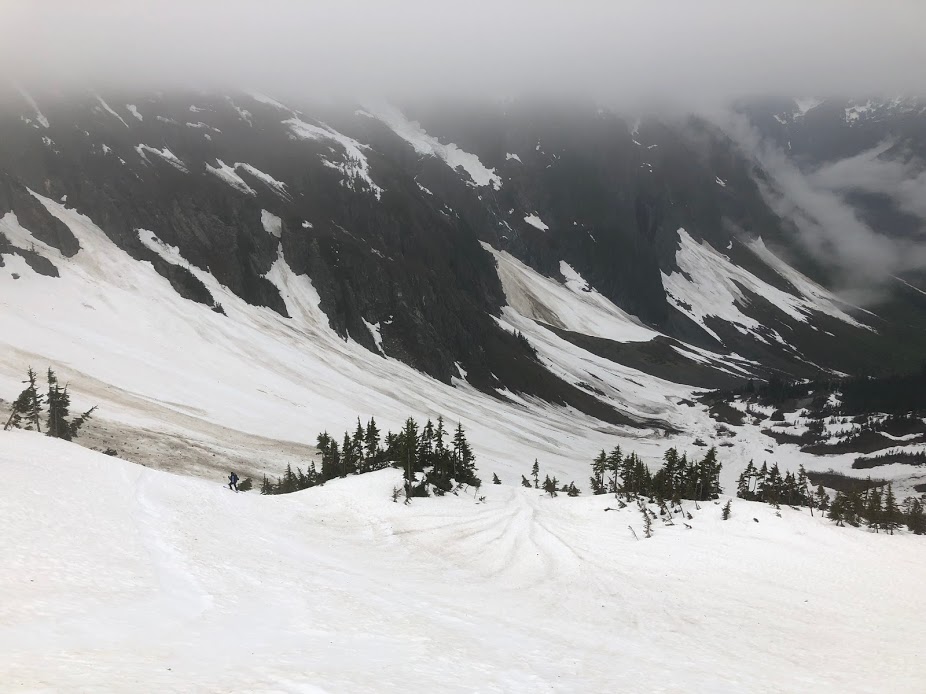
Skiing out the final section after waking up in the clouds. You can sort of see some glaciers up on those cliffs, with big waterfalls running off of them.

Hiking back out 5km down the logging road with our gear - the green of the temperate rain forest felt like a different world after two days of snow, ice and rock.
It was an unbelievable trip, and there was no way I could have done it without Ty and Pete planning, leading and guiding me through it.
I'm glad I pushed through and made the summit for no other reason than the sense of accomplishment.
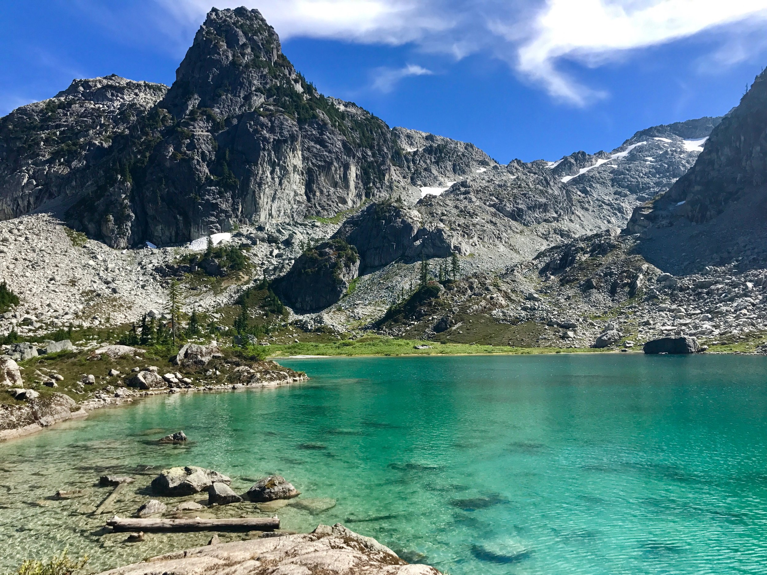
After seeing a few photos from friends of an incredible green lake hidden in the mountains, I knew that I wanted to hike there.
I took a Tuesday in the middle of the week for the trip to avoid the crowds, and made the drive up to Squamish. The trailhead was about an 40 minute drive down a logging road near the Sea-To-Summit Gondola.

The first part of the hike is pretty standard BC trail, with a few interesting features like this mountain stream.

But once you make it past the final incline, you arrive at this incredible view.
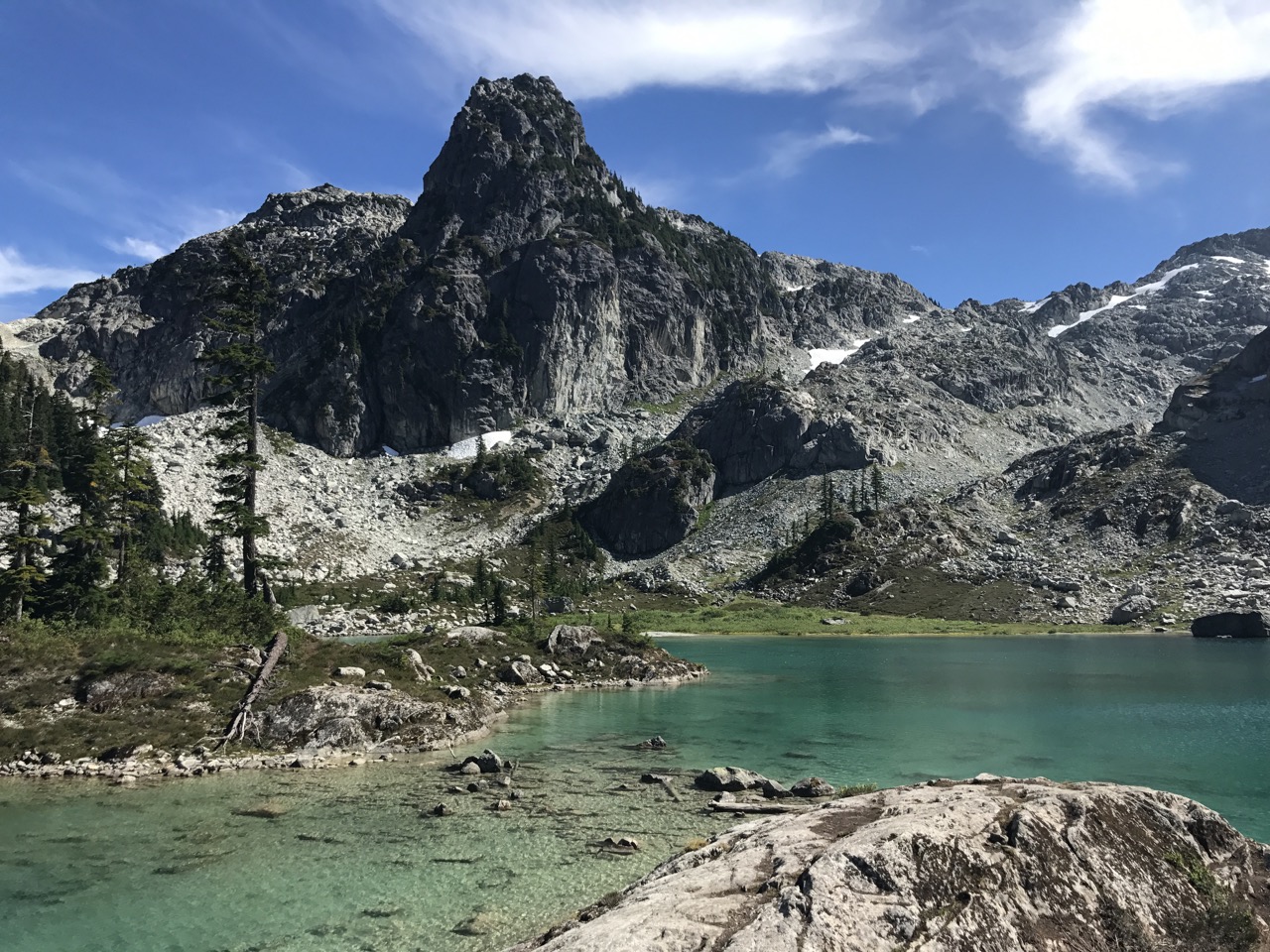
It really does look like this. And it's cold (I went for a quick swim).

Not much more to add at this point, except it was a great afternoon of trail running and hiking.
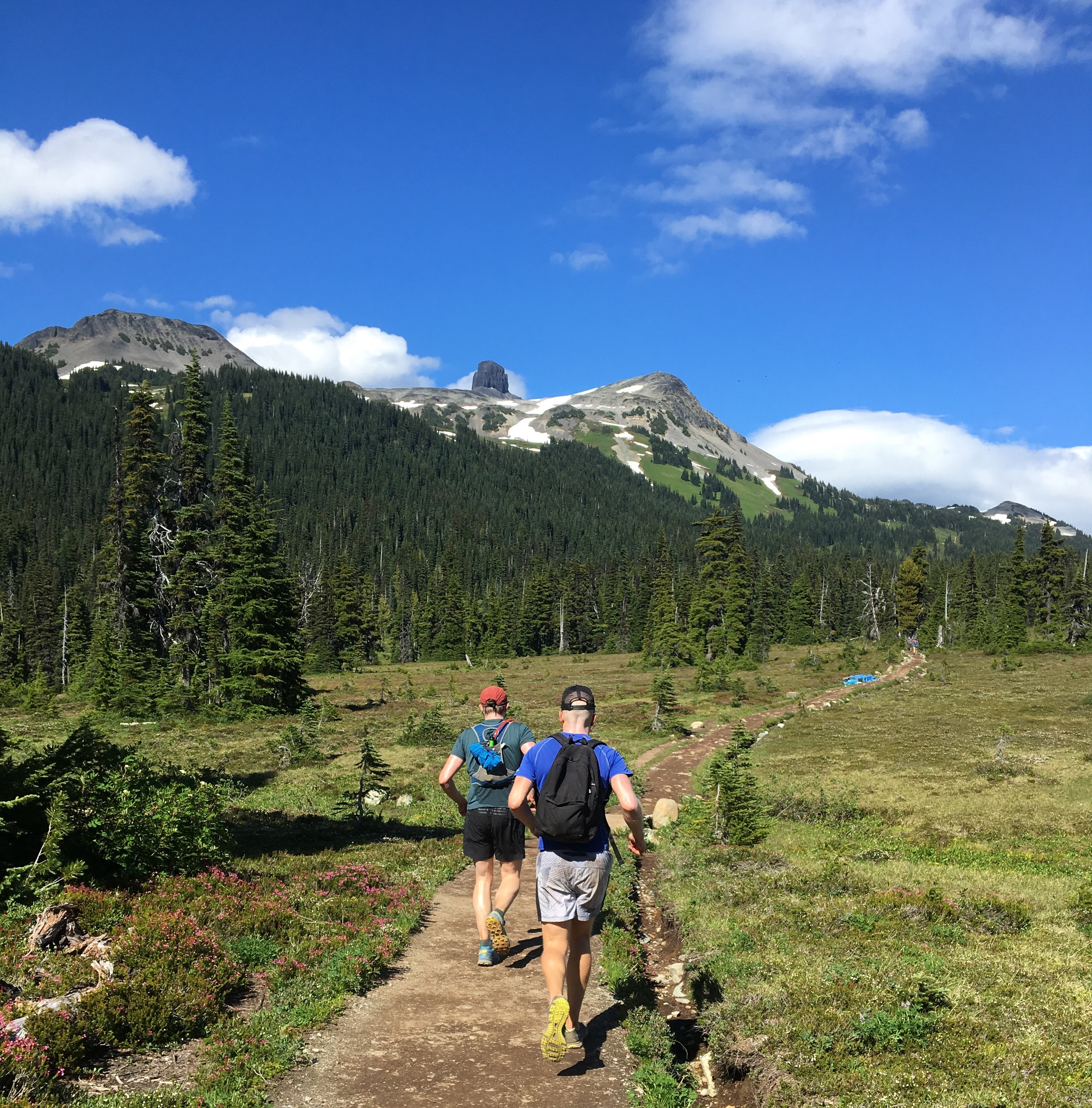
One weekend last summer, a few friends and I drove out to Whistler on an early Saturday morning, took the chairlifts to the top of the mountain then hiked into the back country.

The view from the top of Whistler. In the middle of winter, this is covered in snow and skiers. You can see Black Tusk off in the distance.

Mountain Meadows en route to our camp site.

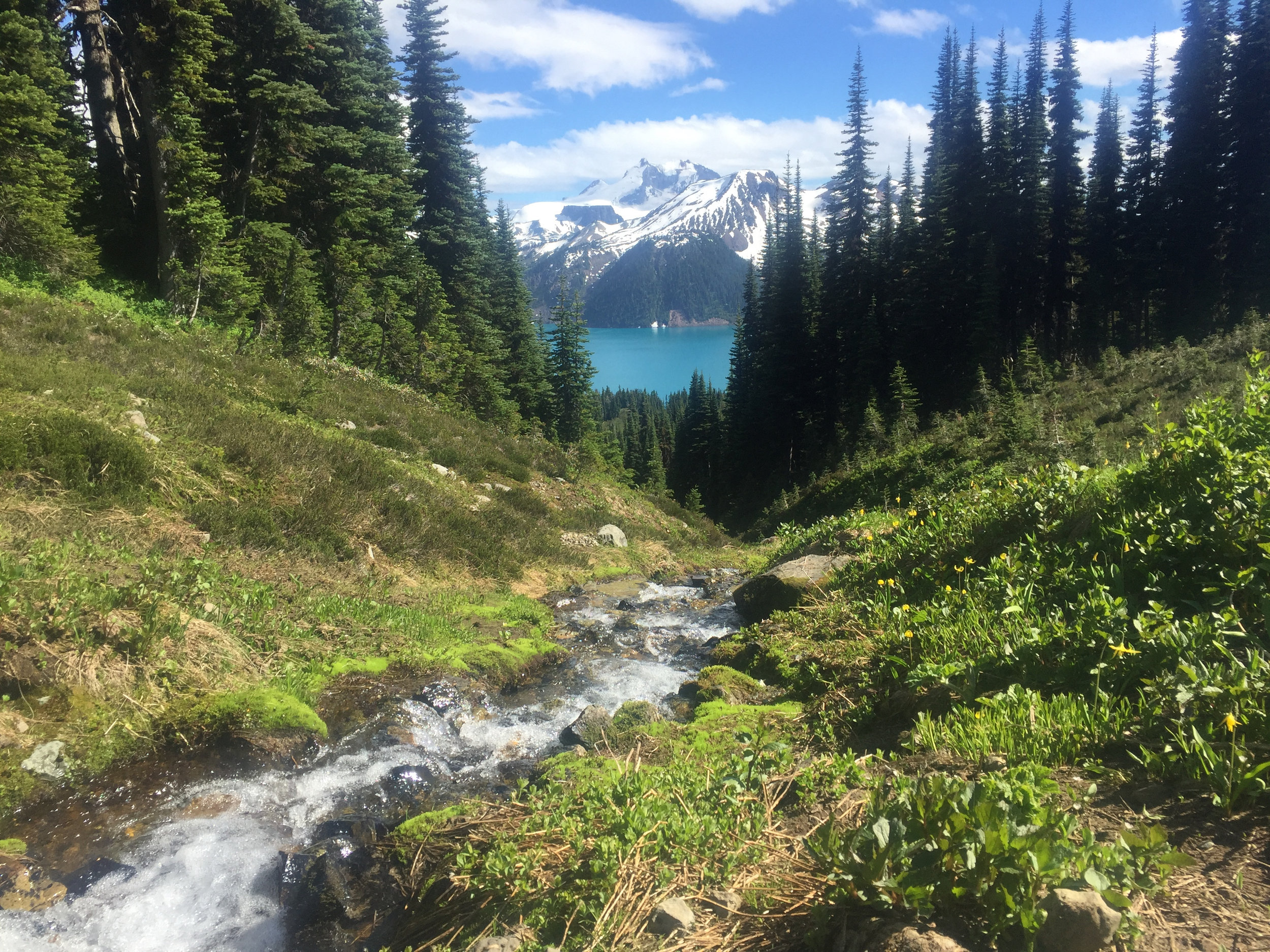
After about 10-12km, we arrived at Russet Lake. Our camp site was about 50 meters to the left of this photo, alongside a stream running out of the lake. The peak in the photo is Fissile Peak.

It was the middle of summer, but it gets cold in the mountains once the sun starts to go down. Thankfully one of our group brought some wine to keep us warm. I made dinner for some of us: pasta with canned chicken and pesto sauce. it would have been gross under any other circumstances.

The view from our campsite. The lake in the photo above is behind us in the photo.

An iPhone will never be able to do justice to to way the sky looked in the mountains on such an unbelievably clear night, and this is the last photo I took before it got dark. We sat outside for an hour or so after this and just looked at the stars.

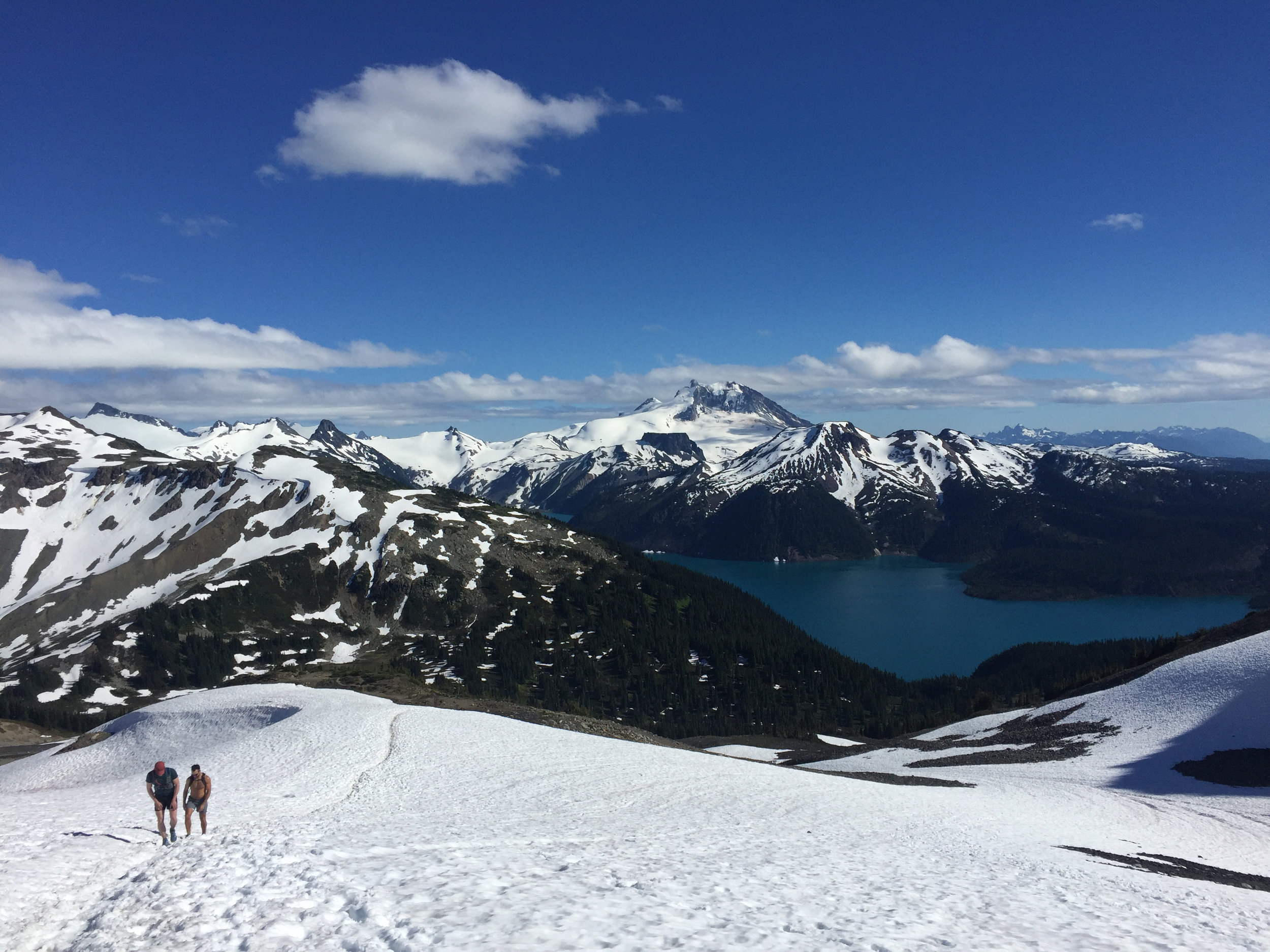
A few of us got moving at at 6am the next morning to try and tackle a few of the nearby peaks. This is the view on the way up - the lake is just off to the right of this photo as we're moving up a steep scree slope.

A view fro the summit of Whirlwind, the first peak we hit. You can see the next one we were aiming for, Overlord Mountain, along the end of the ridge trail on the left of the photo (we had to follow that ridge).

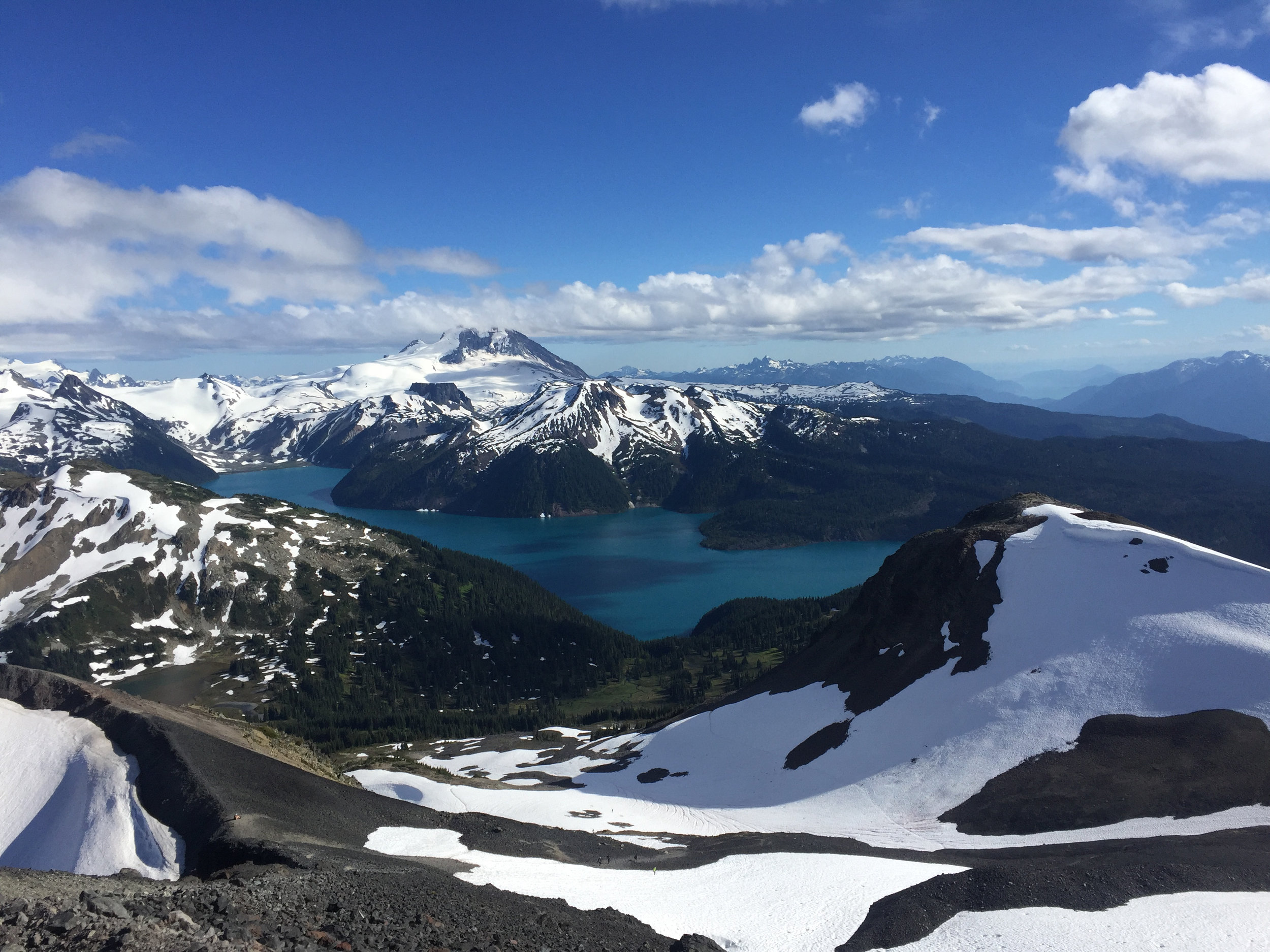
View from the top of Overlord, looking back along that ride and Whirlwind. At this point, it was 9am on Sunday morning and the weather and views were amazing.

Descending down from Overlord. It's not really a hike, more of a scramble.

Ty on the descent.
Hiking bike to civilization with Whirlwind and Overlord in the background.


It was a pretty good way to spend a weekend with some great friends.
Check out more of the hikes and scrambles I've done in the past little while at the Explore section on BlogCampaigning.
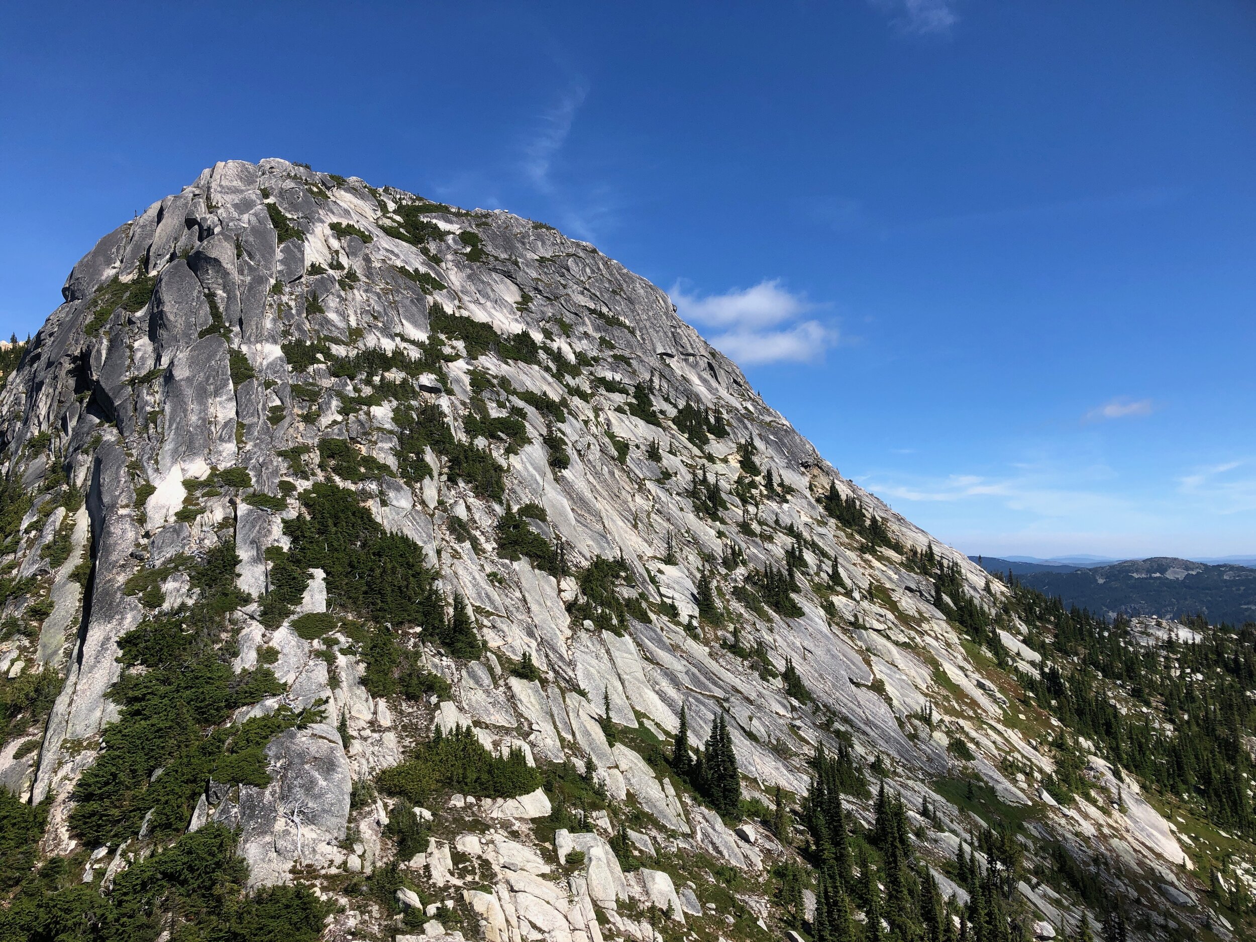
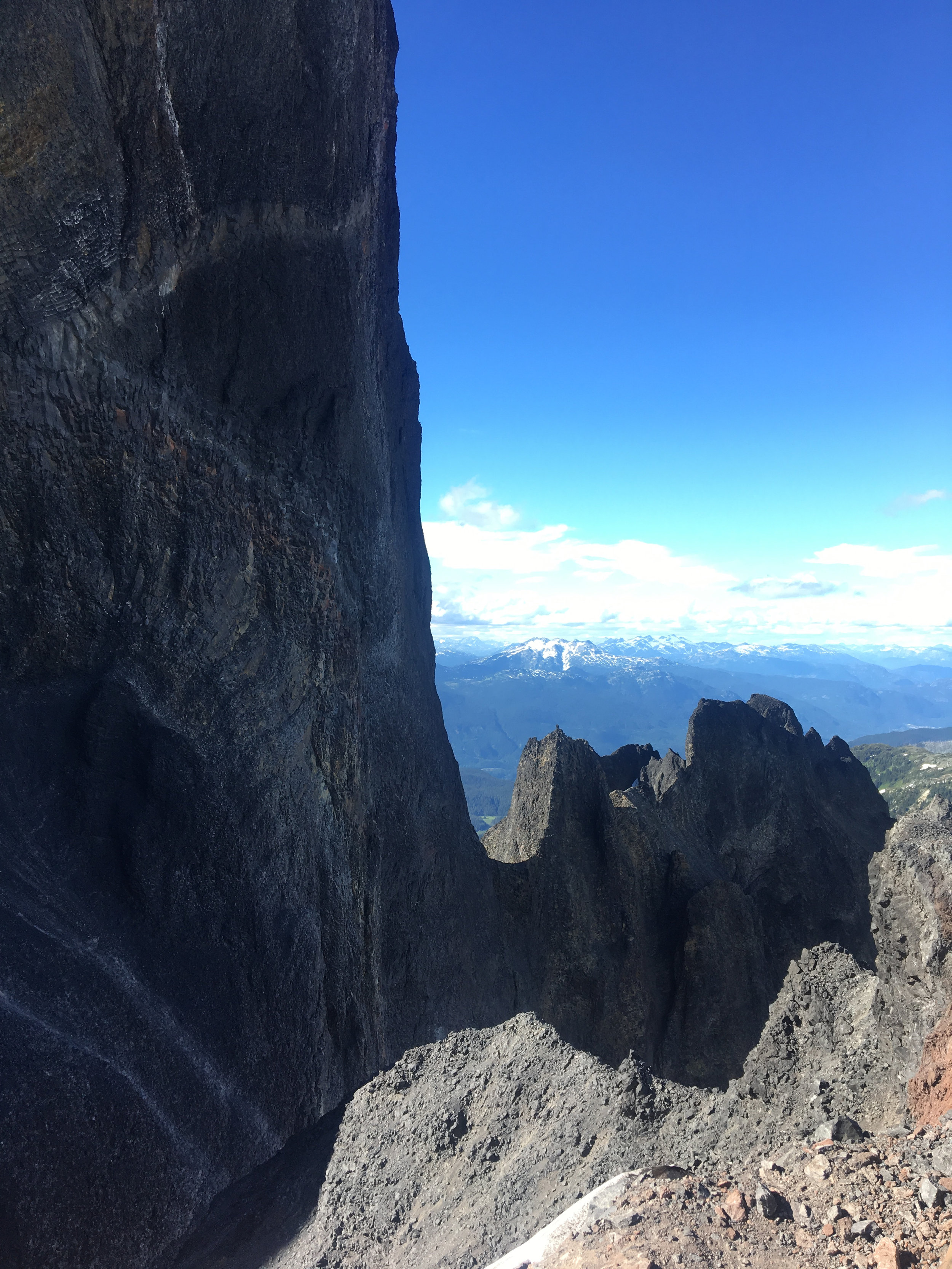
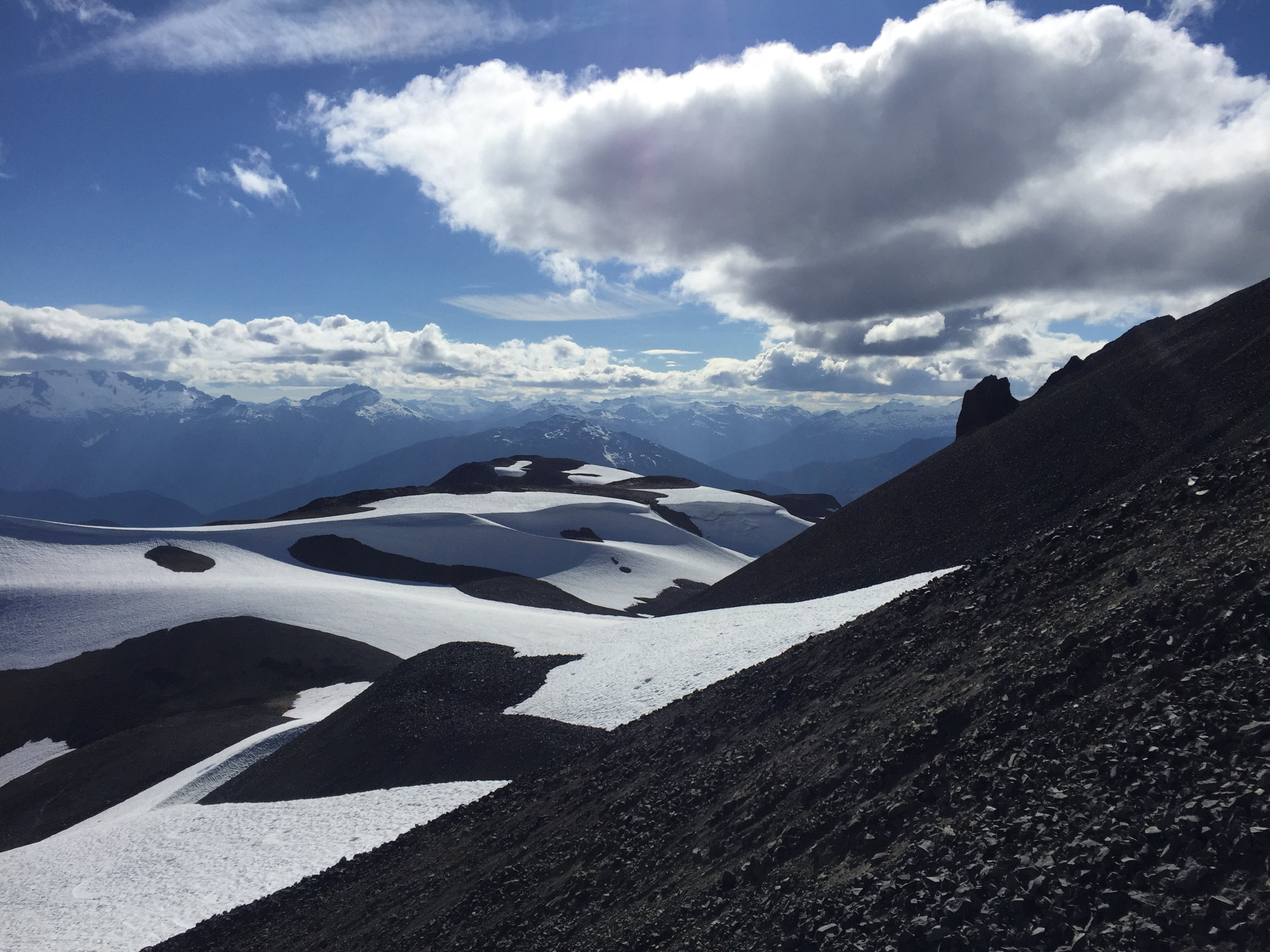
Tricouni Peak - about 40 minutes from Squamish, British Columbia - has been on my friend Ty's bucket list for years. He's attempted the summit a few different times (on foot and skis) but told me that each time he was turned back by weather, conditions, snow or timing.
A few weeks ago he asked me to join him to try it again on what was probably the last non-rainy day of the season.

3D satellite image of Tricouni Peak via Google Earth Pro. The little lake in the bottom middle of the photo is one of the frozen ones in the image below.

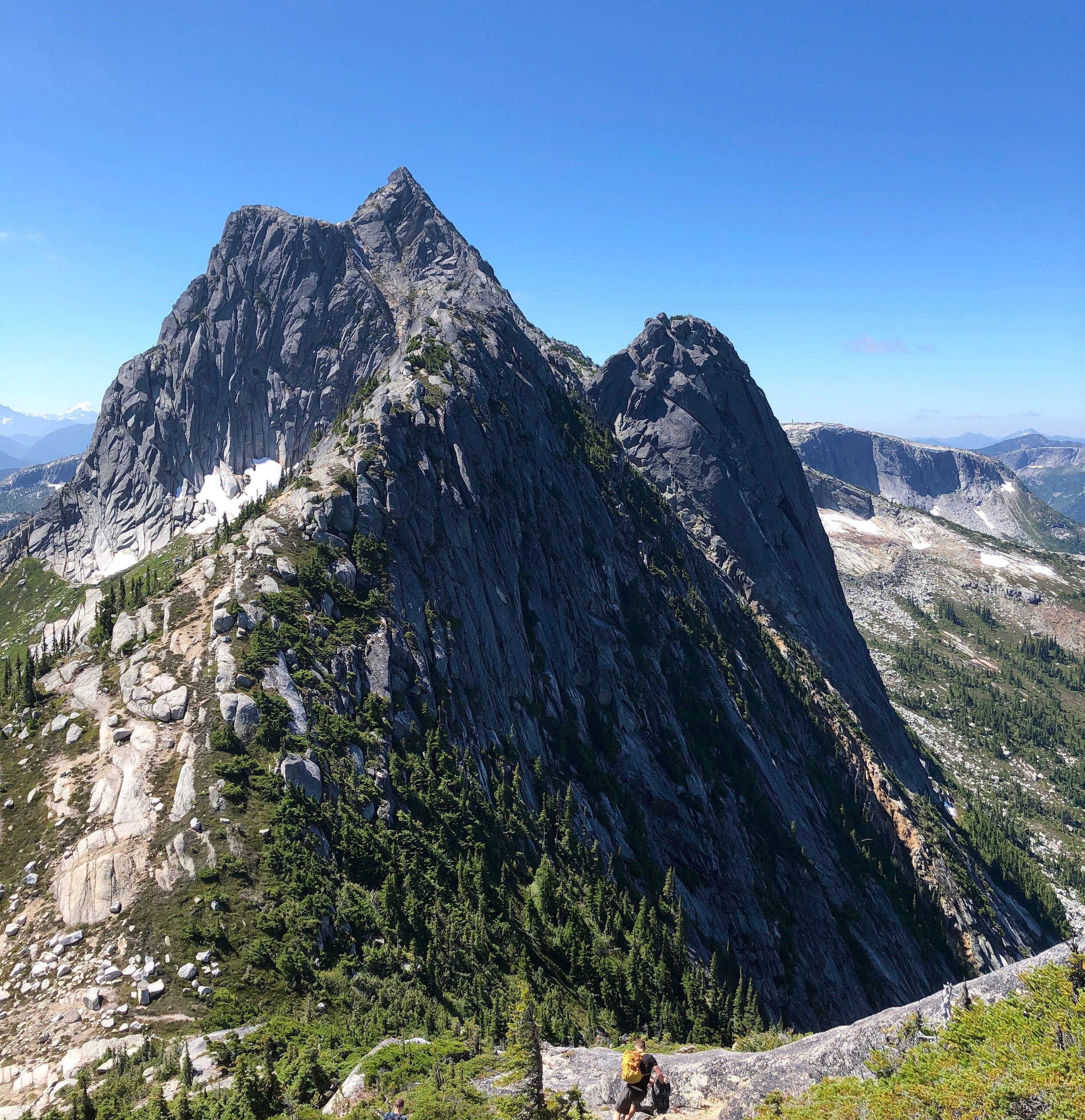
Looking up at the peak across a frozen lake. This was a couple of hours into the hike.

Looking back across that same lake as we hiked a bit further - at this point, the "trail" was mostly frozen snow and loose rock.
Ty leading the way across frozen snow - we both had two trekking poles for most of the trip, but as things got steeper we switched to mountaineering axes.

Getting a bit higher up.

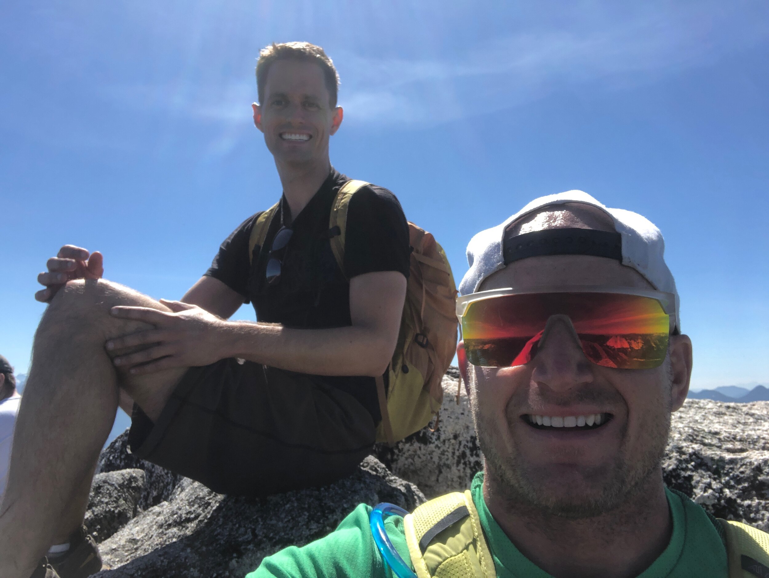
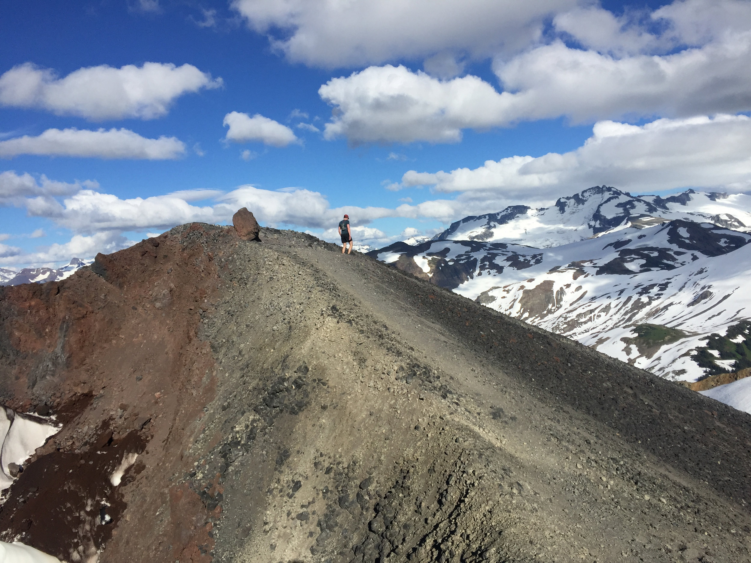
Ty on the summit - what a legend. Also a great chiropractor in Vancouver!

Summit view.

Me at the summit contemplating the gnarly hand-over-hand scramble we had to do to get here. I was pretty much terrified, but Ty's mountain confidence got me through it. Thanks, buddy!

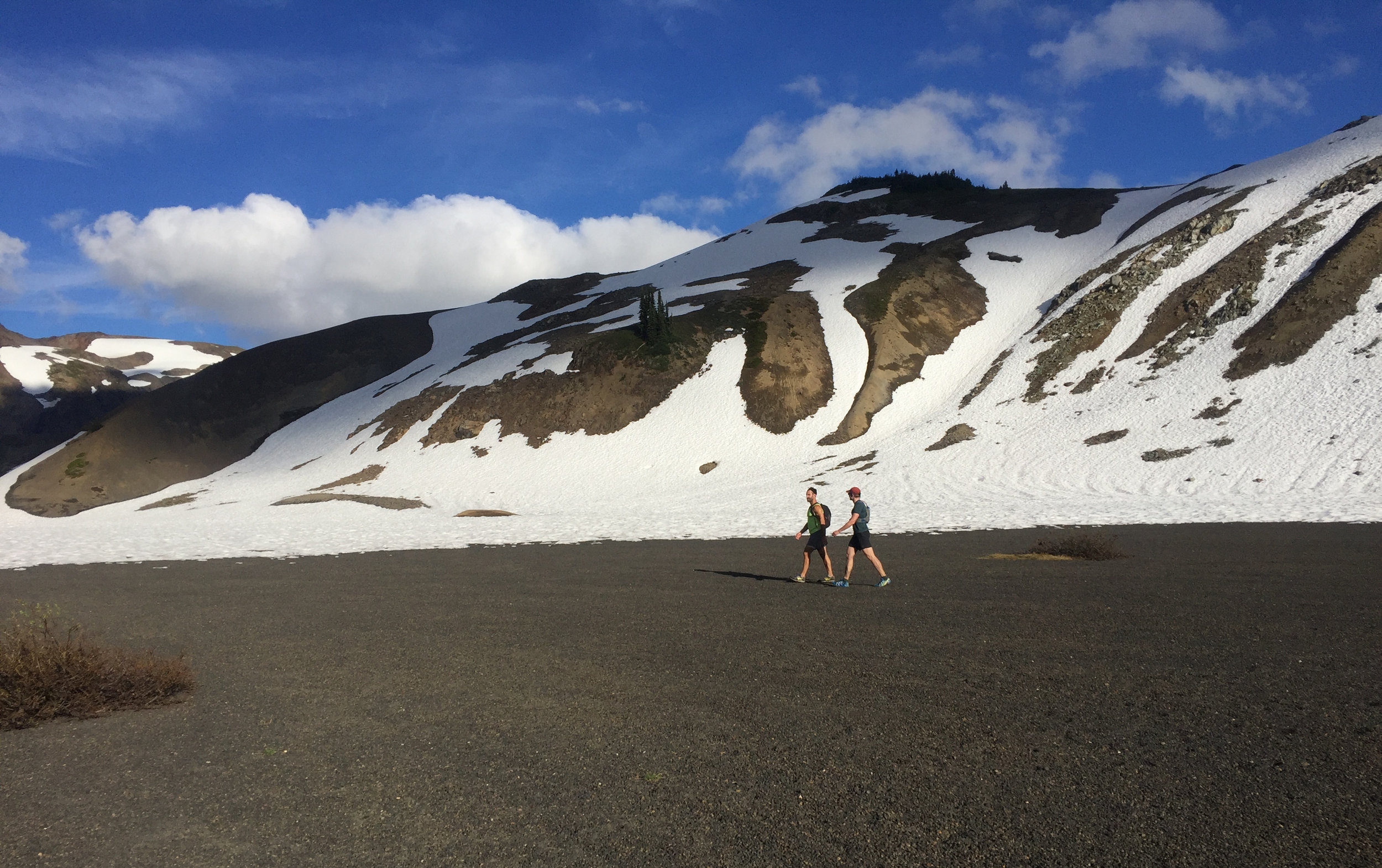
Climbing down...this section wasn't actually that steep compared to some of the sections.
It was a long day, but definitely worth it.
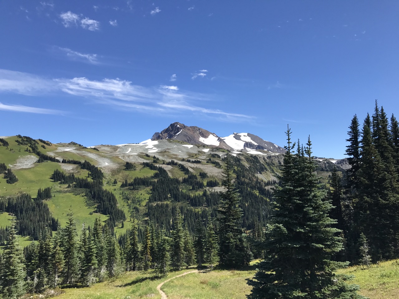
It was a pretty amazing summer here on the West (best?) Coast. Below is a mostly-chronological recap of May-September. Yes, there was a lot of snow (and some ski-touring!).


On Saturday a couple of friends and I did a pretty epic hike.
Ty and Parker moving quick with the Black Tusk in site. We didn't start until a little after 2pm and knew we'd have to keep up a good pace to finish before dark.
We drank fresh, cold water from the stream. At 11.5km into the hike on a hot day, it was very welcome. That's Garibaldi Lake in the background.
Ty and J-Dub making their way up the snow.
Different angle/elevation.
Looking into the crater and beyond.
Climbing this scree slope was tough. Two steps forward, sliding one back.
Ty on the way down.

Beautiful mountain meadows on the way down.
Some sort of high plain.

Home stretch - the sun was starting to get a bit lower, and we still had about 10km to go.
All in, it was an incredible hike. Ty even made the summit (J-Dub and I hung back the last little stretch because we didn't feel like scrambling) and we completed the 27.6 km and ~1700m of elevation in about 6.5 hours, getting to the car just it was getting dark at about 9pm.
One of the reasons I moved to Vancouver was because of what surrounded the city: mountains.
Since moving here, my friend Ty has taken me under his wing and is showing me the best peaks in the area. He's also gotten me into back-country skiing (or ski-touring), and over the May long weekend we summited Mt. Baker in Washington state.
(For those that are unfamiliar with the sport of ski-touring, as I was until November last year, it's a combination of cross-country skiing and downhill skiing. To go up the hill, you put something called a "skin" on the bottom of your ski that provides you with traction (they're synthetic now, but I'm sure that back in the day they used to be actual seal skins). When you get to the top, you adjust the bindings, take off the skin and its downhill skiing.)
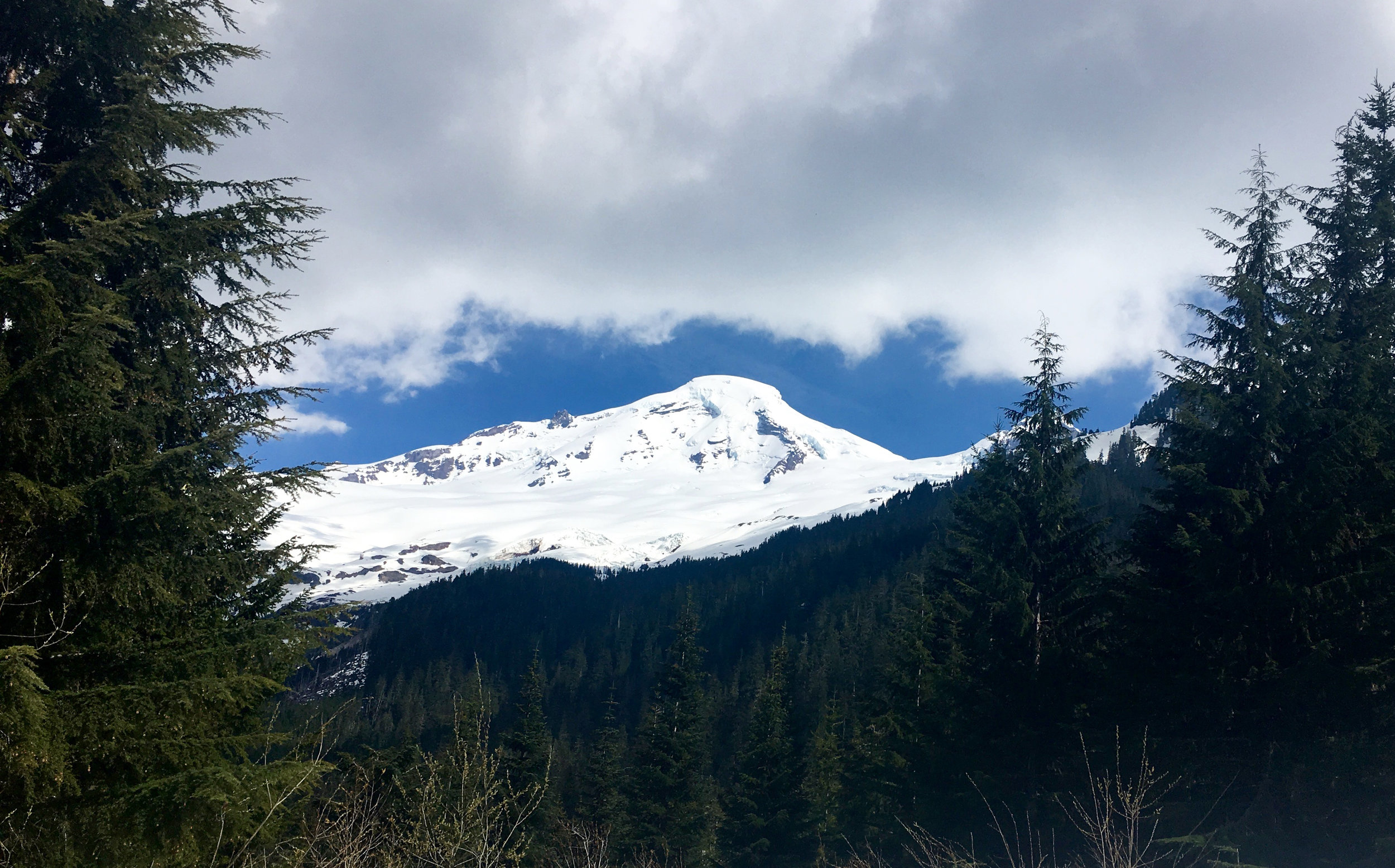
A view of the peak from the logging road, after about 20 minutes into the trip - we drove to within about 2 miles of the trailhead, and then hit snow so strapped the skis on and started going up.

Not sure who took this photo, but it's a beautiful one, and not even the steepest part.
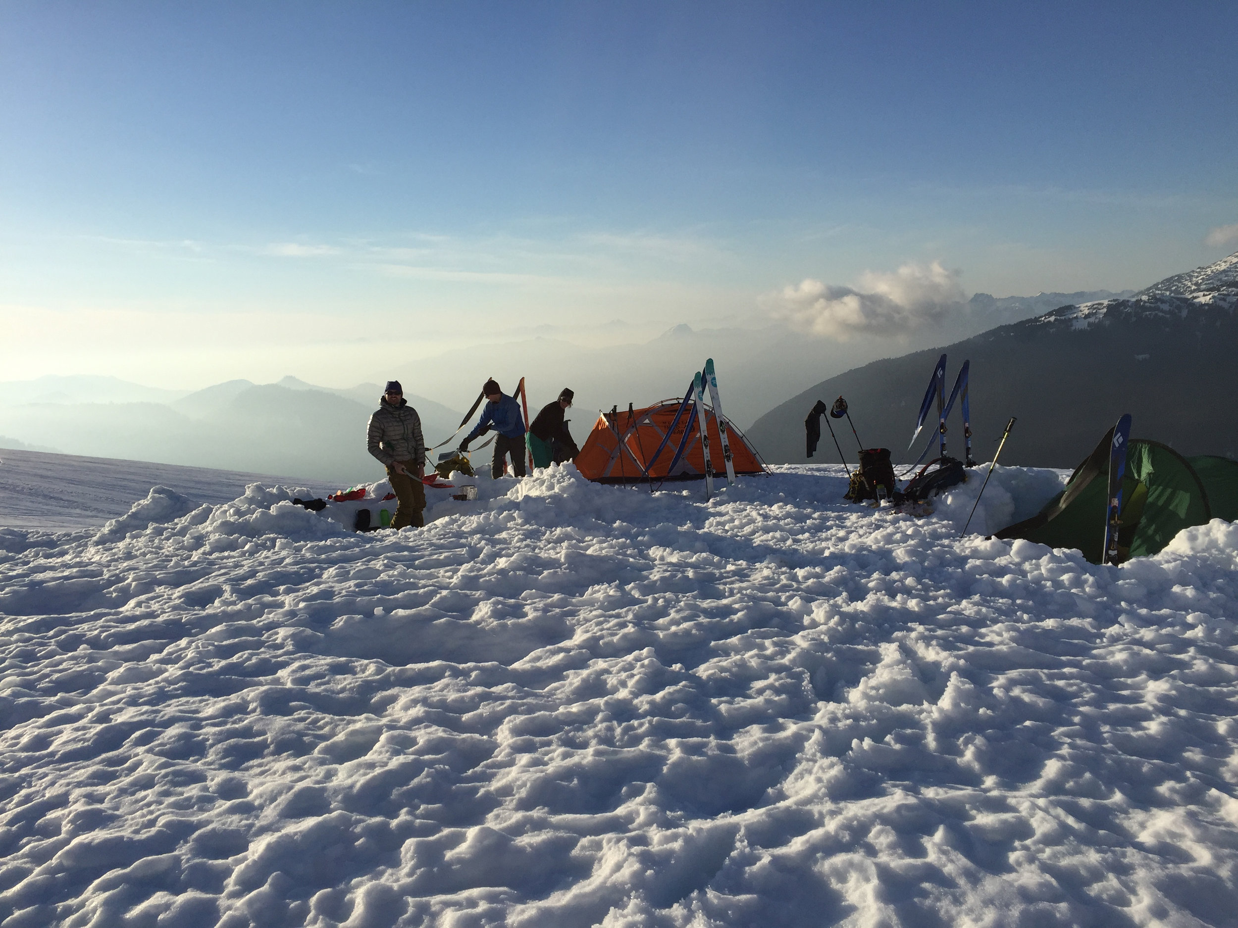
This was our camp for the night, after about 4 hours of traversing through the forest, and going uphill.
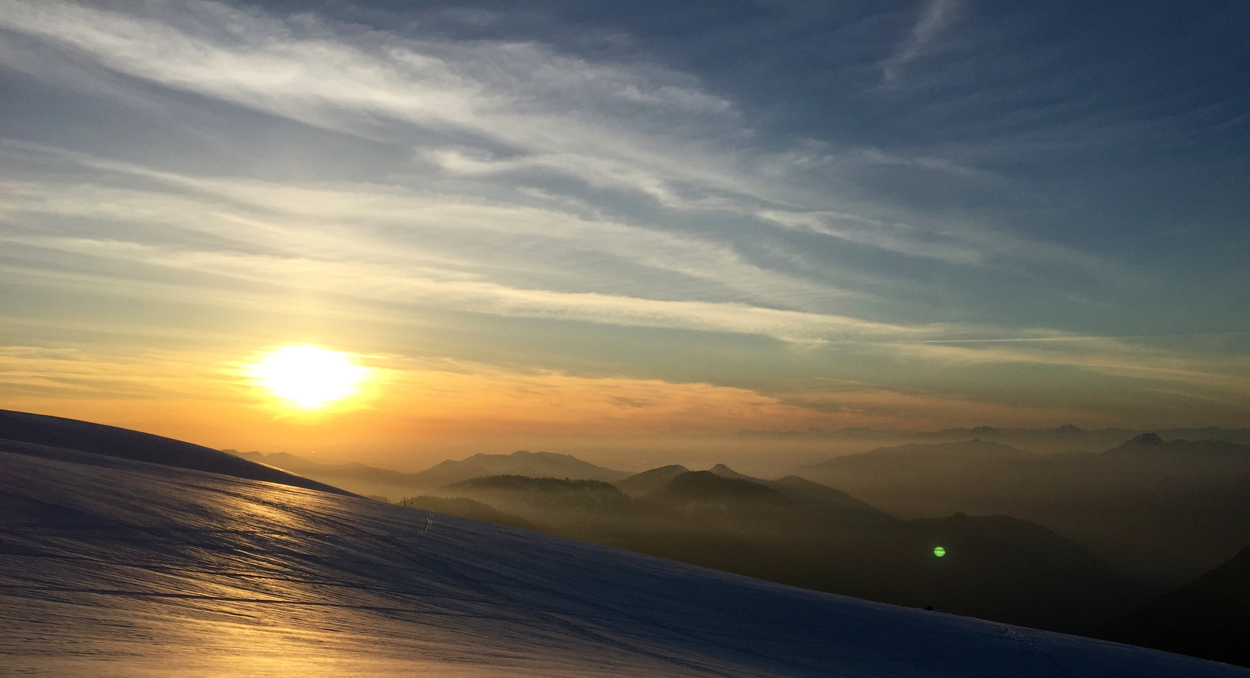
Sunset from our camp.

Going up on the second day.
A view from the peak of Mt. Baker: about 10,700 feet/3,200 meters above sea level. I took a nap on my backpack when we got there.
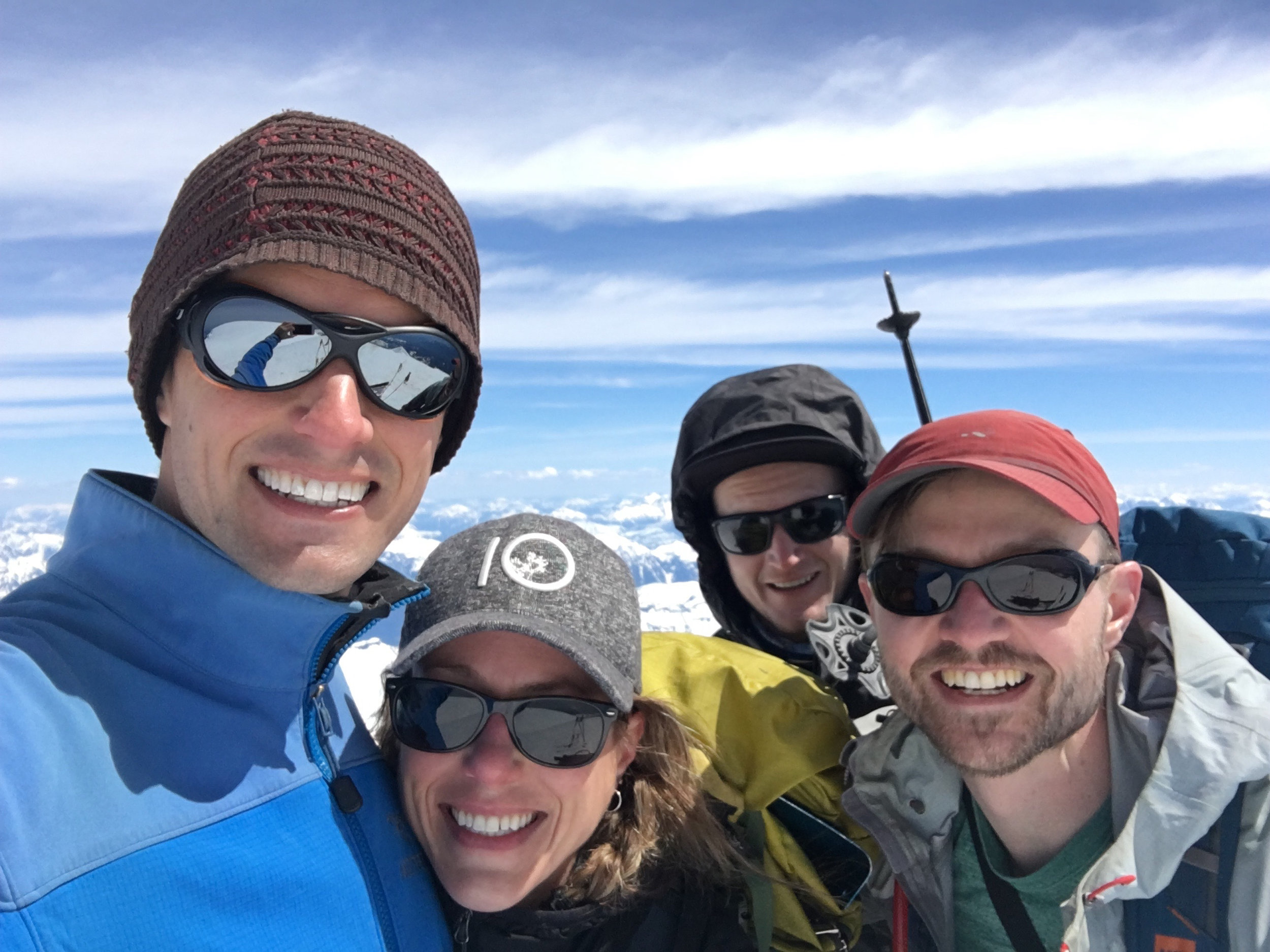
The crew, from left to right: Backcountry Pete, Kerry, Parker, Ty
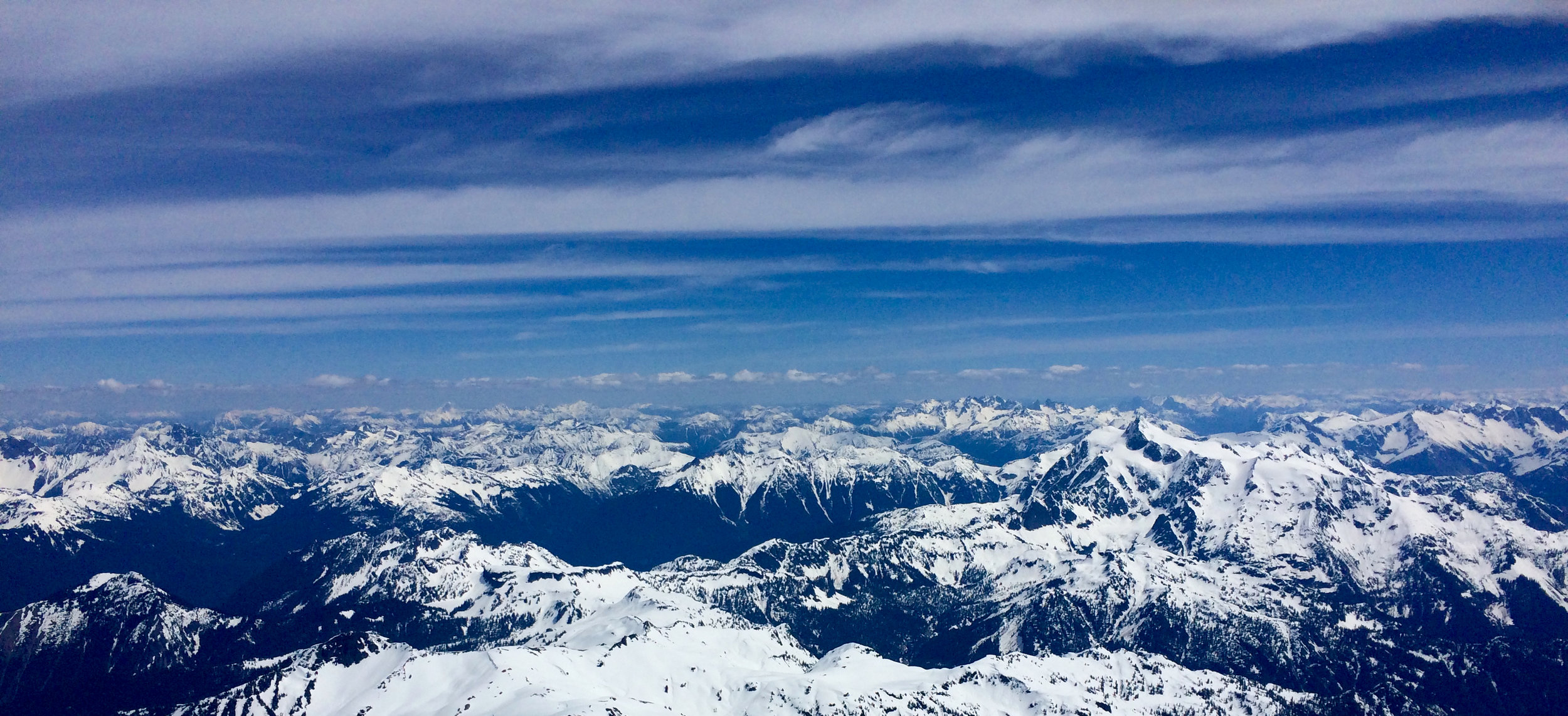
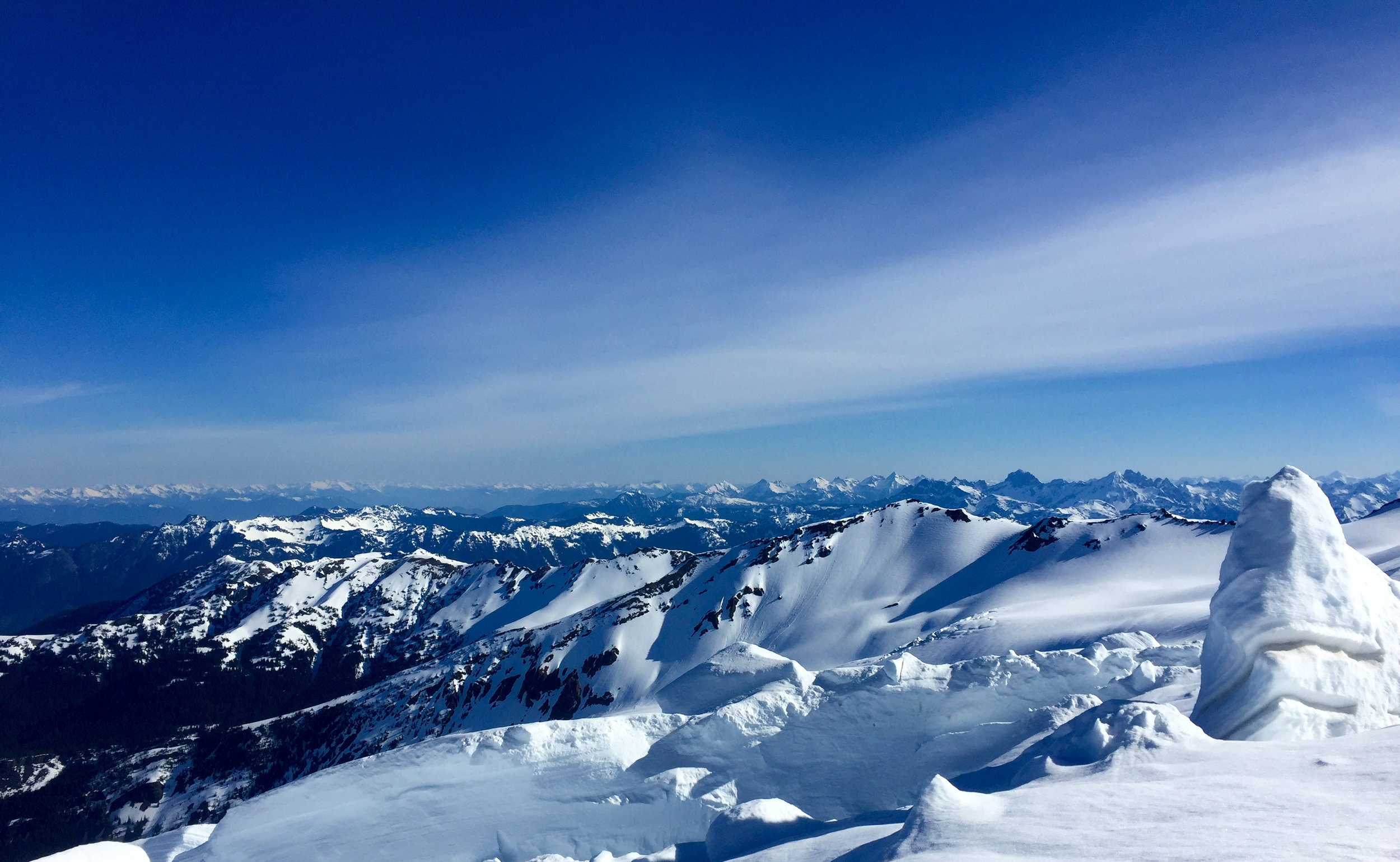
Another view from the peak - it really shows you how much higher Mt. Baker is than the surrounding mountains.

Part of the descent - it was steep! I didn't ski this part, but slid down on my ass and used my ice axe as a brake.

Ty skied down the toughest, most technical part and ripped it up.

Conditions at the bottom were spring-like: after we got below the tree line, we followed this glacier water runout channel.
It was probably one of the coolest trips I've ever been on. But also one of the toughest. I'm sure that for the crew I was with, this was an easy little weekend trip into the mountains, though.
I'd like to give a HUGE thank you to Ty, Pete and Kerry for having me along on the trip. I was definitely the rookie, and there was no way I could have even considered going on the trip without them.
If you liked these photos, you might like a few other posts about hiking that I've done in the last year or so:
Tommyhoi Peak (visible from Mt. Baker)
Surfing and Hiking in New Zealand


Thanks to my friend Tyler for taking me on an awesome hike last week.
I haven't been blogging as much lately, but I've written a couple of longer-form pieces in the last few months. Click on the images below to read them.


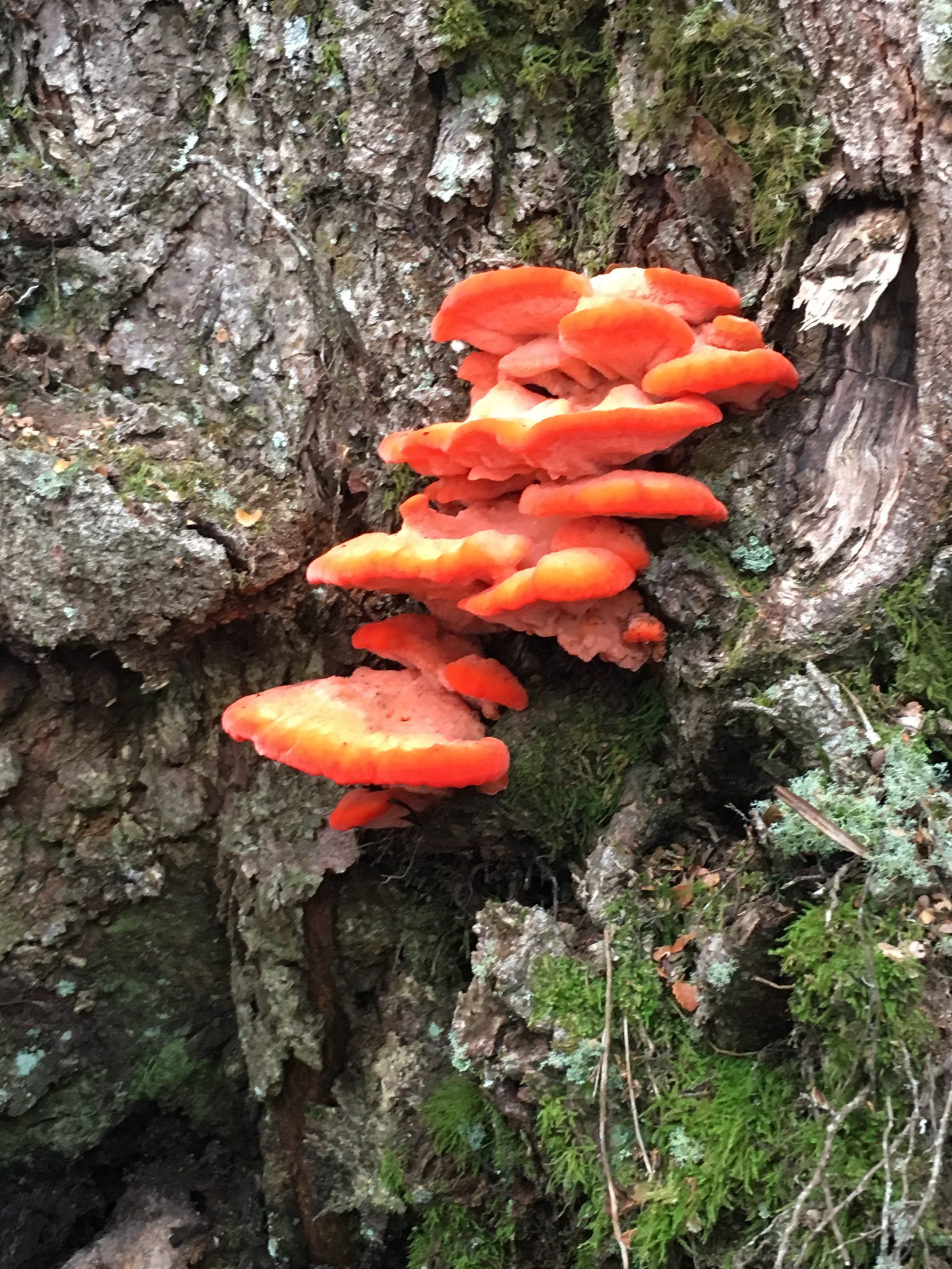
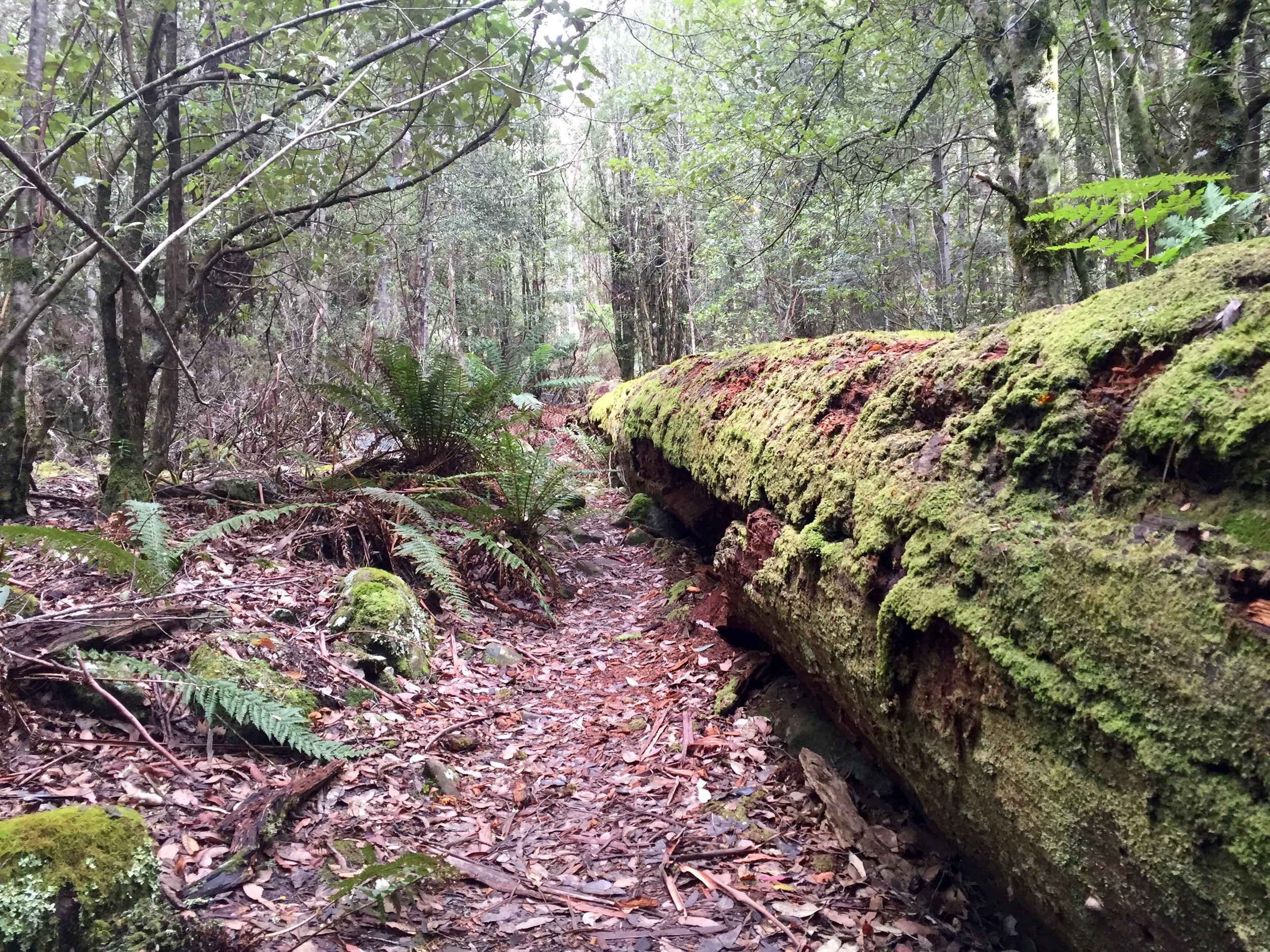


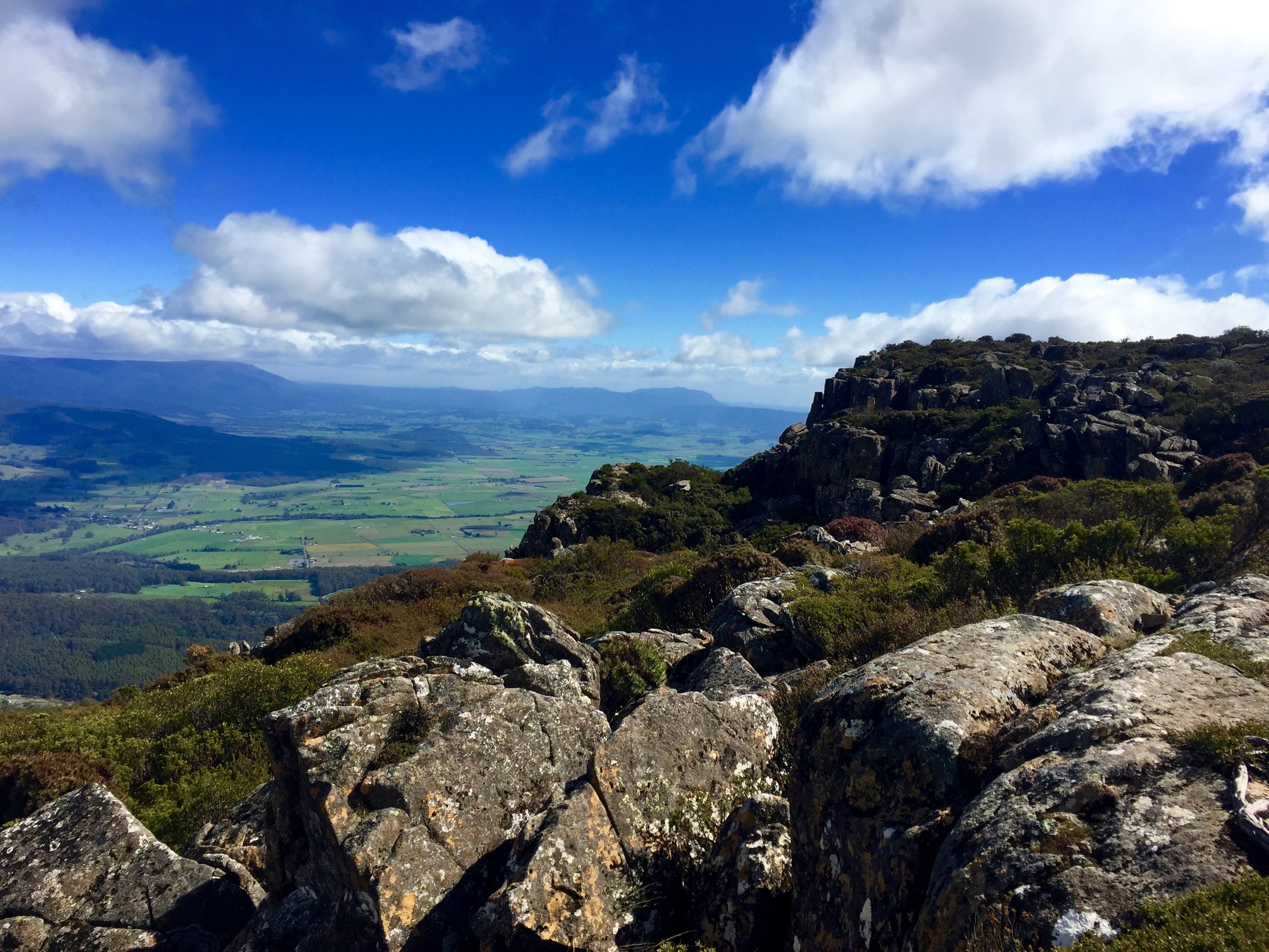
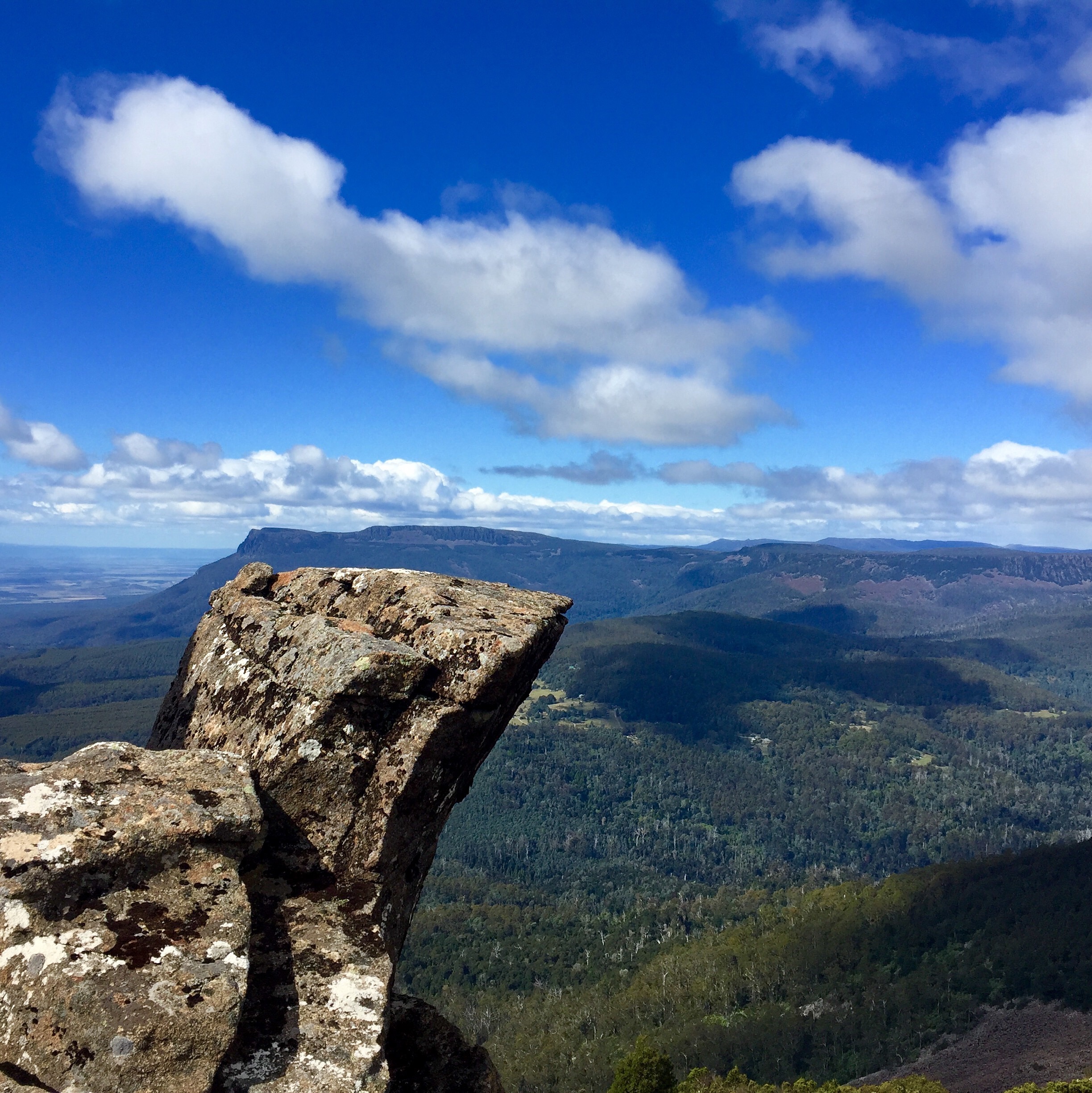
These photos are all from the Quamby Bluff hike in central Tasmania. It's only about 7km, but there are a lot of steep sections and there is one section that requires you to scramble up a scree slope. The hike is totally worth it, though,
If you liked these photos, you might also like photos of a few other hikes I went on:
Haleakala, Maui: Re-entering the House of the Sun
The photos above are of Haleakala, a volcano on Maui (except for the last photo, which is of the West Maui Mountains).
It's an excellent, if difficult hike. Check the weather before you go.
Yesterday, I hiked from the Cascades Kauri Park through to Bethells Beach, and back. I think it was the Montana Heritage Trail for most of the journey, but I also think I went off that a little bit.
Highlights of the hike were the green rain forest, some massive inland sand dunes, a waterfall (that I wasn't expecting), and some great views of classic, rolling hills.
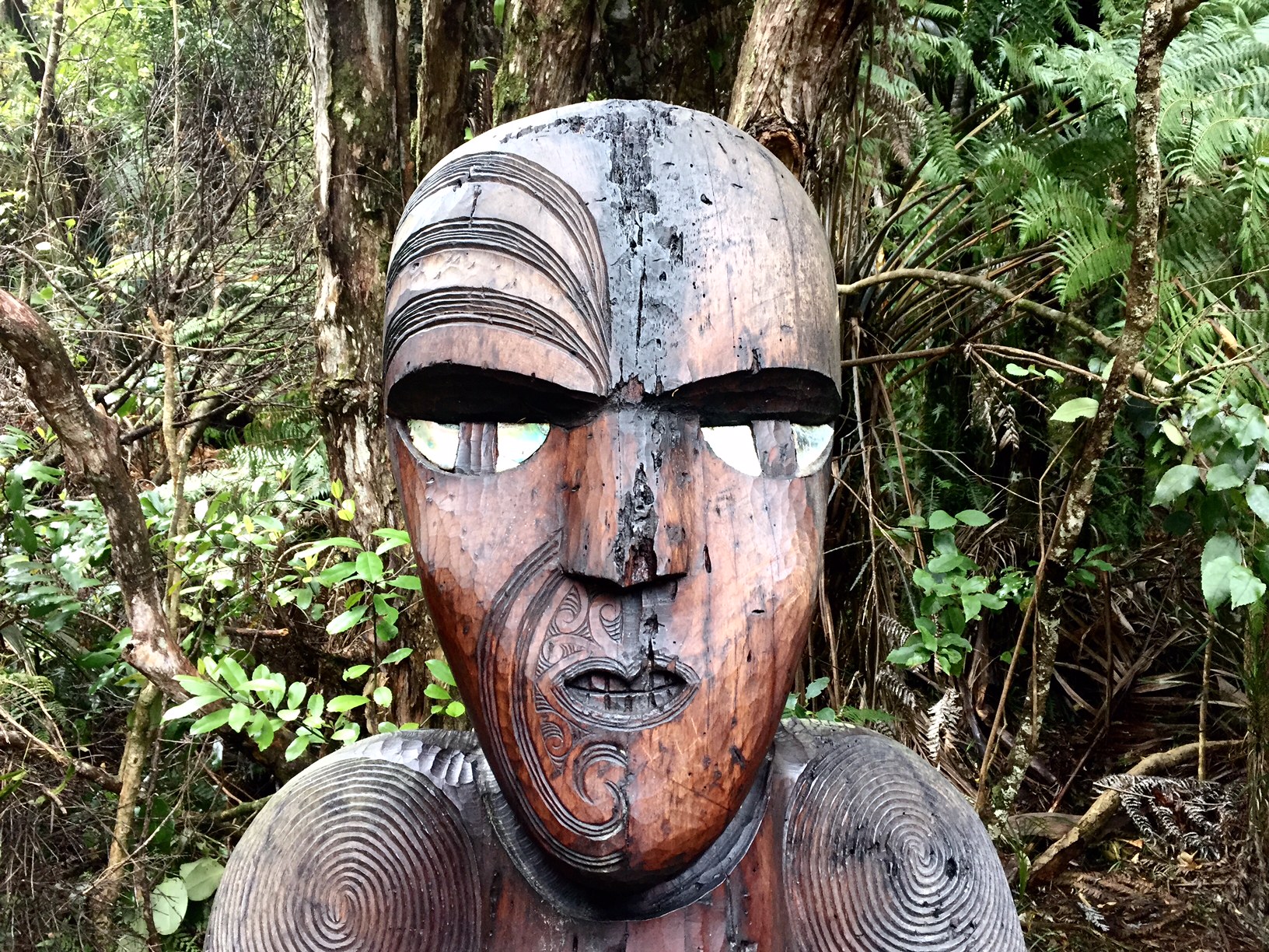
According to the iHealth function on my iPhone, I walked about 30km and the entire journey took me just under 5 hours. I'd highly recommend it if you've got a spare day in Auckland, as it's a great way to see some awesome and varied New Zealand scenery.
If you liked these hiking pictures, you might also like the ones I took last week when I hiked The Pinnacles or this post with more general pictures of New Zealand.